


Ich startete die Feierabendrunde am Hotel Wetzlarer Hof.
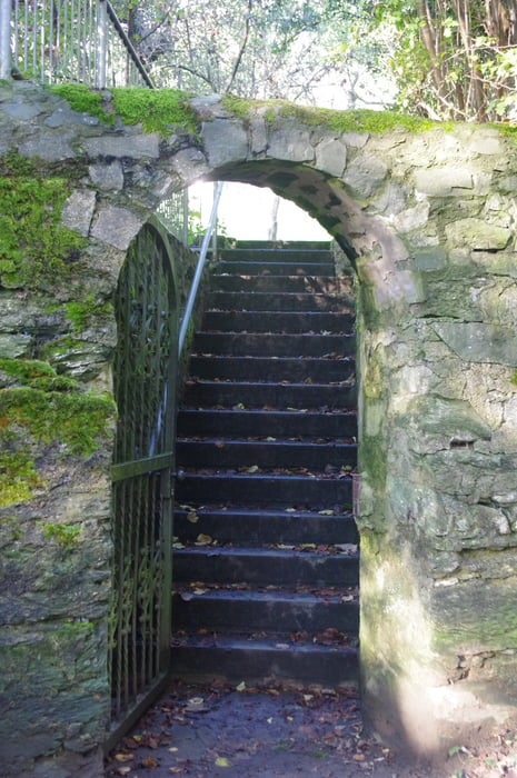
Wieder ein Stück durch die Wetzlarer Altstadt und dann durch die Lauerstraße. Nach Osten abknicken und die schmale Helgebachstraße so lange entlang bis sie als Fußweg an der Friedensstraße endet. Über diese hinweg und den Wanderpfad ansteigen. Dann den Hasenpfad entlang, über die Frankfurter Straße hinweg und dann im Grünstreifen zum Leitz Park.
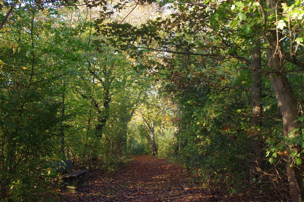
Hier jetzt am Ortsrand entlang bis zur Grillhütte und auf einem alten Asphaltweg nach Garbenheim absteigen.
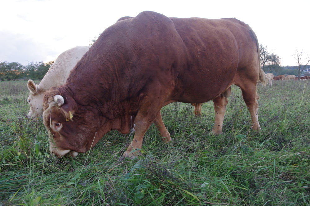
Nachdem ich die Ortschaft durchquert hatte wanderte ich in der Lahnaue einen großen Bogen über Feld und Wiesenwege. Danach überquerte ich nach einem vermuteten Pfad die Lahn und besuchte die alte fast ungenutzte Ladenpassage. Da hier nichts zu holen war suchte ich meine Lieblingsminipizza auf um dort etwas zu essen.
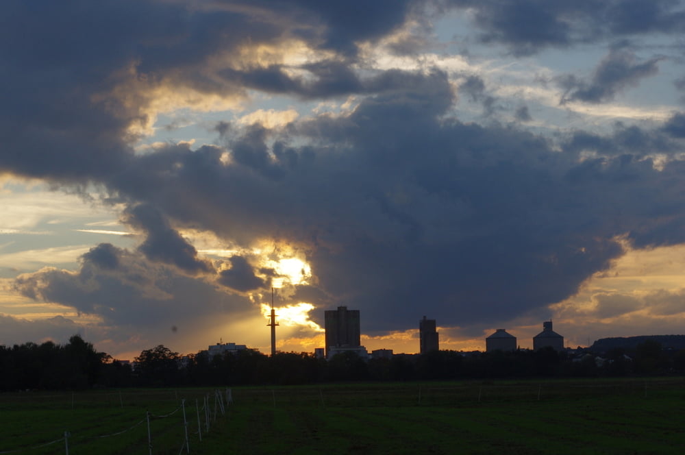
Der restliche Rückweg war dann nur noch ein Kinderspiel.
Further information at
https://de.wikipedia.org/wiki/Lahn-Dill-KreisGalerie du tour
Carte du tour et altitude
Minimum height 150 m
Maximum height 291 m
More about the tour author
|
|
Pheinz |
Commentaires

Start wieder direkt am Hotel Wetzlarer Hof.
Tracks GPS
Trackpoints-
GPX / Garmin Map Source (gpx) download
-
TCX / Garmin Training Center® (tcx) download
-
CRS / Garmin Training Center® (crs) download
-
Google Earth (kml) download
-
G7ToWin (g7t) download
-
TTQV (trk) download
-
Overlay (ovl) download
-
Fugawi (txt) download
-
Kompass (DAV) Track (tk) download
-
Feuille de tours (pdf) download
-
Original file of the author (gpx) download
More about the tour author
|
|
Pheinz |
Add to my favorites
Remove from my favorites
Edit tags
Open track
My score
Rate