Login

Login oublié ?

Cookies have to be accepted!
Your browser's cookie functionality is disabled. Please enable this functionality.

Not a member yet?

Register now
Login

Available for registred users only

Log in to use this feature.

Login oublié ?

Cookies have to be accepted!
Your browser's cookie functionality is disabled. Please enable this functionality.

Not a member yet?

Register now
Filter
Catégories
Advanced filters
  • Longueur (km)
  • Altimètre
Enregistrer le filtre Reset filter

TrackRank

QRCode

Technical data

Longueur15,0 km Altimètre953 m Way down949 m Durée06:30 h:m Date02.11.2014
Evaluations Author Paysage Aspect amusement Condition Technique

Statistiques

254 Vues Evaluations 11 Téléchargements Moyenne
Rate
  • Feuille de tours
  • Arrivée
  • Téléchargements

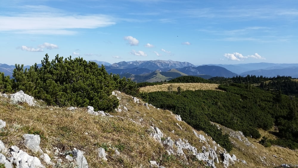
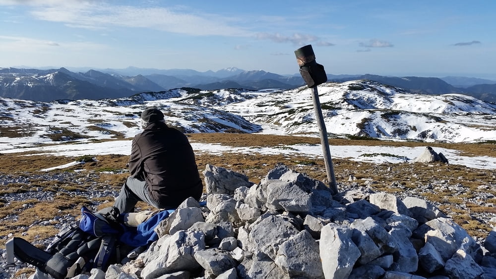
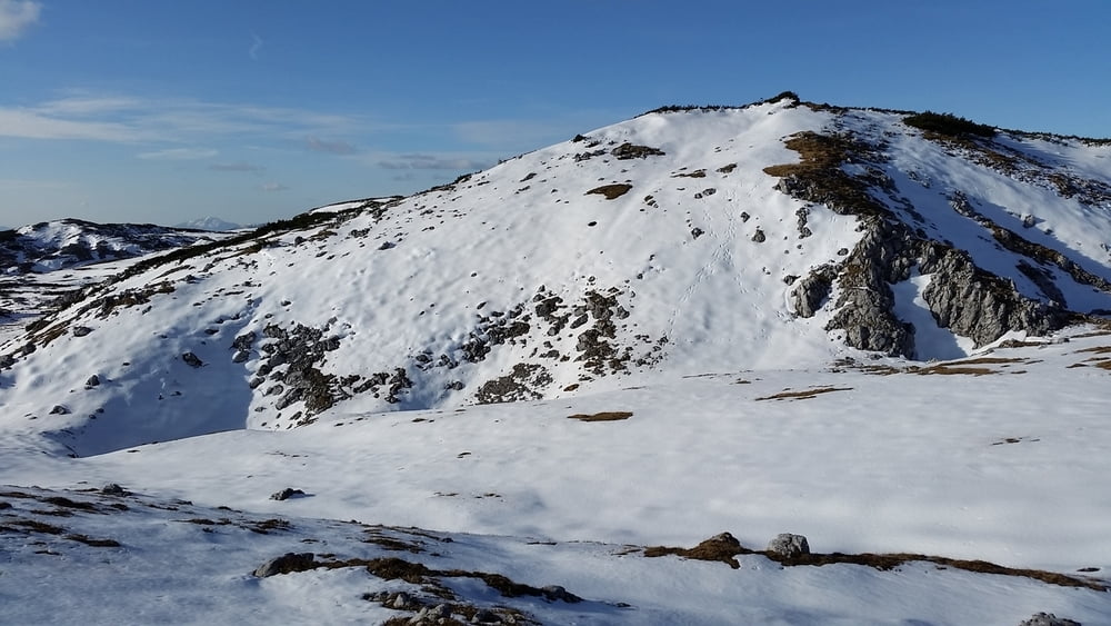
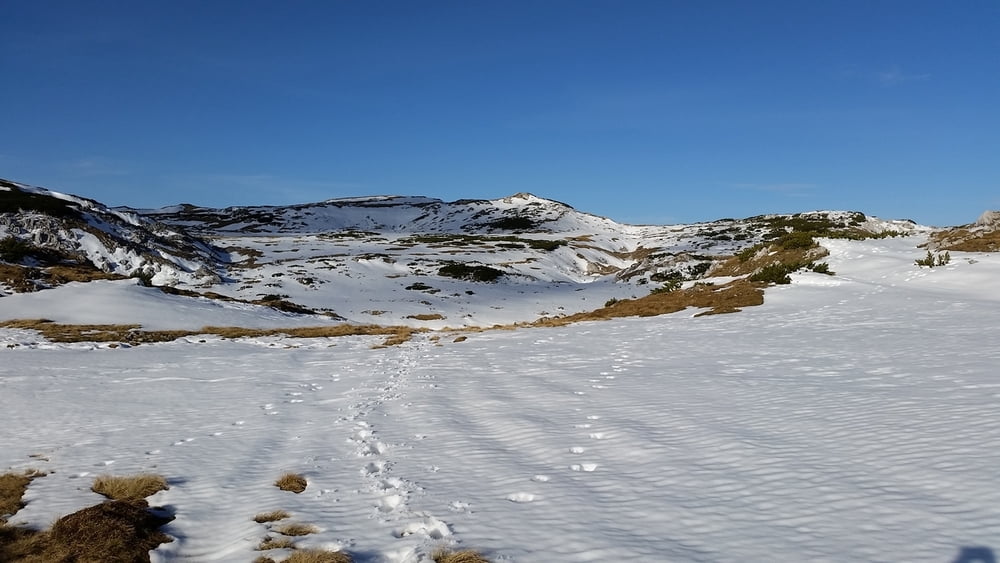
Preiner Gscheid- Waxriegelkamm- Scheibwaldhöhe- Schlangenweg- Preiner Gscheid.
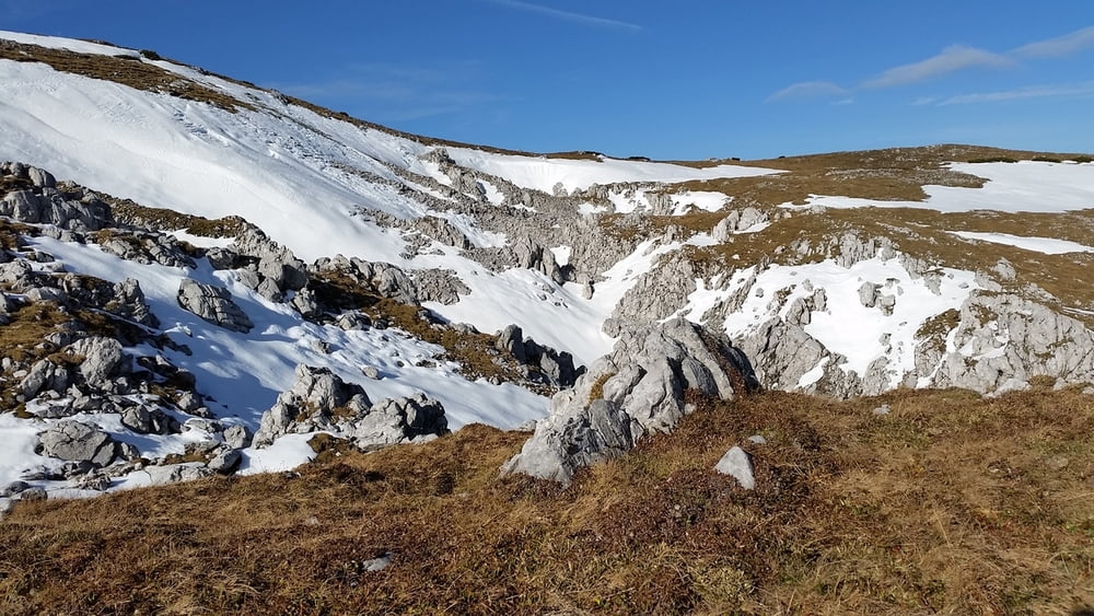
 

Galerie du tour

Carte du tour et altitude

  • Open Street Map
  • Google
Minimum height 1071 m Maximum height 1948 m Vue de détail

More about the tour author

michael6978
Member since 2014

Send private message

Commentaires

Autobahnabfahrt Gloggnitz (S6) Richtung Reichenau an der Rax, danach im Kreisverkehr links zum Preiner Gscheid.


Tracks GPS

Trackpoints
  • GPX / Garmin Map Source (gpx) download
  • TCX / Garmin Training Center® (tcx) download
  • CRS / Garmin Training Center® (crs) download
  • Google Earth (kml) download
  • G7ToWin (g7t) download
  • TTQV (trk) download
  • Overlay (ovl) download
  • Fugawi (txt) download
  • Kompass (DAV) Track (tk) download
  • Feuille de tours (pdf) download
  • Original file of the author (gpx) download

More about the tour author

michael6978
Member since 2014

Send private message
Share track
Add to my favorites
Remove from my favorites
Edit tags
My score
Rate
Tour: Rax Scheibwaldhöhe
Cat.: Randonnées
Longueur: 15,0 km
Evaluated on:
Durée:
Day(s)
Hour(s)
Minute(s)
Evaluation: Paysage Aspect amusement Condition Technique