


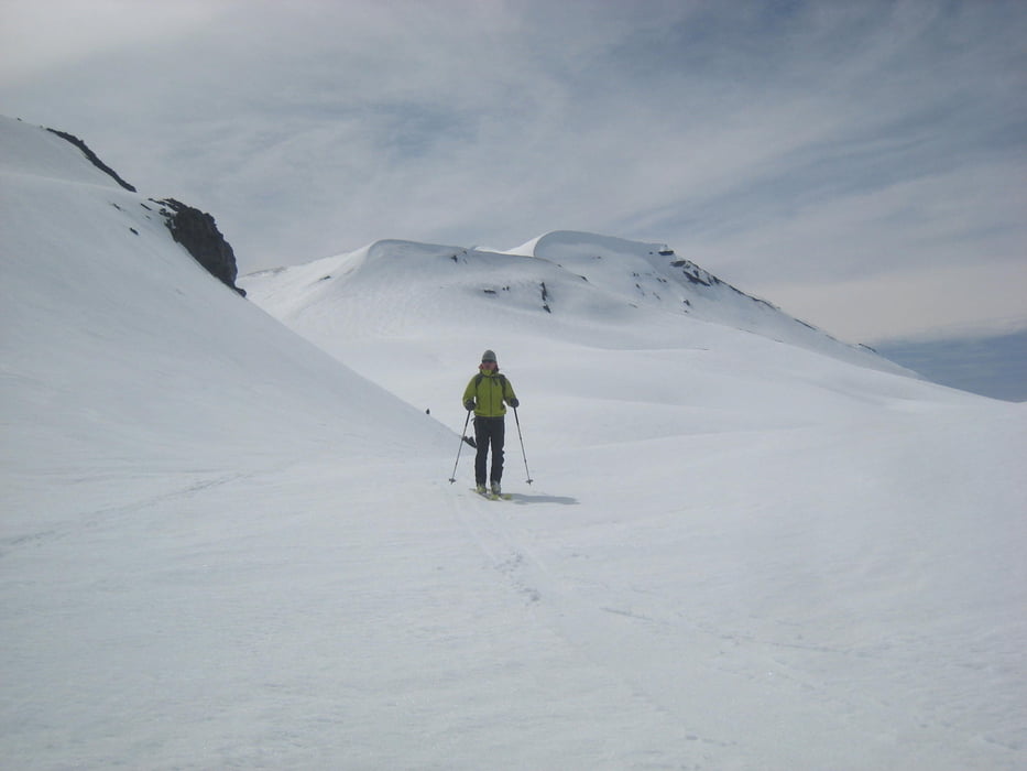
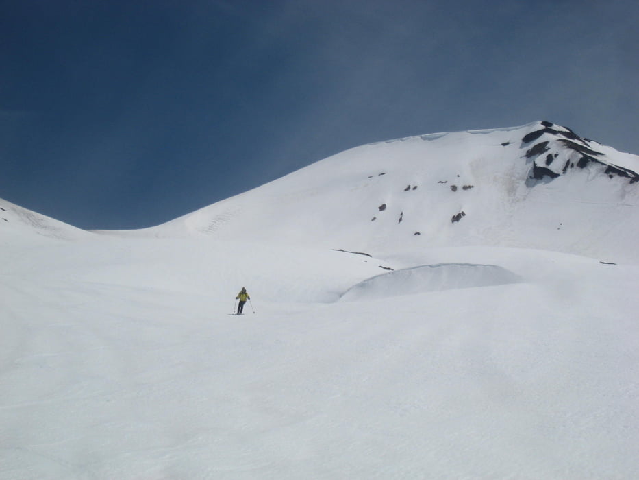
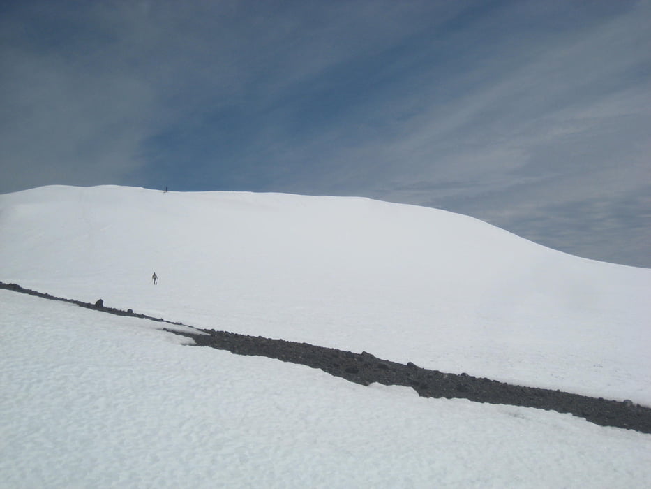
Vom obersten Parkplatz leicht links haltend dirchs Skigebiet aufsteigen, dann lange flach, eine Mulde rechts umgehend zur Ostseite des vorgelagerten Kammrückens. Über kleine Scharte flach weiter und kurz vor dem Gipfelaufbau links hinauf zu Sattel zwischen dem vorgelagertem Kamm und dem Hauptgipfel. Über den Rücken hinauf zum Vorgipfel und übers Gipfelplateau nach NW zum Hauptgipfel.7
Abfahrt wie Aufstieg, einige Flach/Schiebestücke sind im Mittelteil dabei. Der GPS-track zeigt noch eine Extra-Abfahrt nach Osten, weil der Schnee so gut war :-)
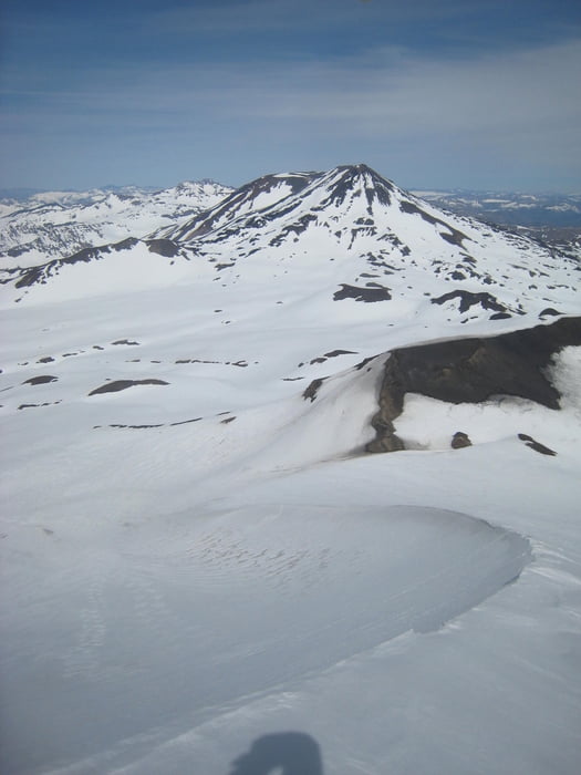
Es gibt zahlreiche Varianten für Aufstieg und Abfahrt, z.B. vom Gipfelplateau zunächst nach Osten, dann wieder etwas aufsteigen, oder unten zum untersten Skilift wie bei Tour Volcan Chillan, Tour 137414. Der hier gespeichrte gpx-track dürfte so ziemlich die kürzeste Variante sein.
Galerie du tour
Carte du tour et altitude
Minimum height 1466 m
Maximum height 3209 m
More about the tour author

|
Gi |
Commentaires

Von Chillan über Las Trancas bis zum Ende der Straße im Skigebiet von Chillan. Dort beim obersten Hotel parken.
Tracks GPS
Trackpoints-
GPX / Garmin Map Source (gpx) download
-
TCX / Garmin Training Center® (tcx) download
-
CRS / Garmin Training Center® (crs) download
-
Google Earth (kml) download
-
G7ToWin (g7t) download
-
TTQV (trk) download
-
Overlay (ovl) download
-
Fugawi (txt) download
-
Kompass (DAV) Track (tk) download
-
Feuille de tours (pdf) download
-
Original file of the author (gpx) download
More about the tour author
|
|
Gi |
Add to my favorites
Remove from my favorites
Edit tags
Open track
My score
Rate