
")

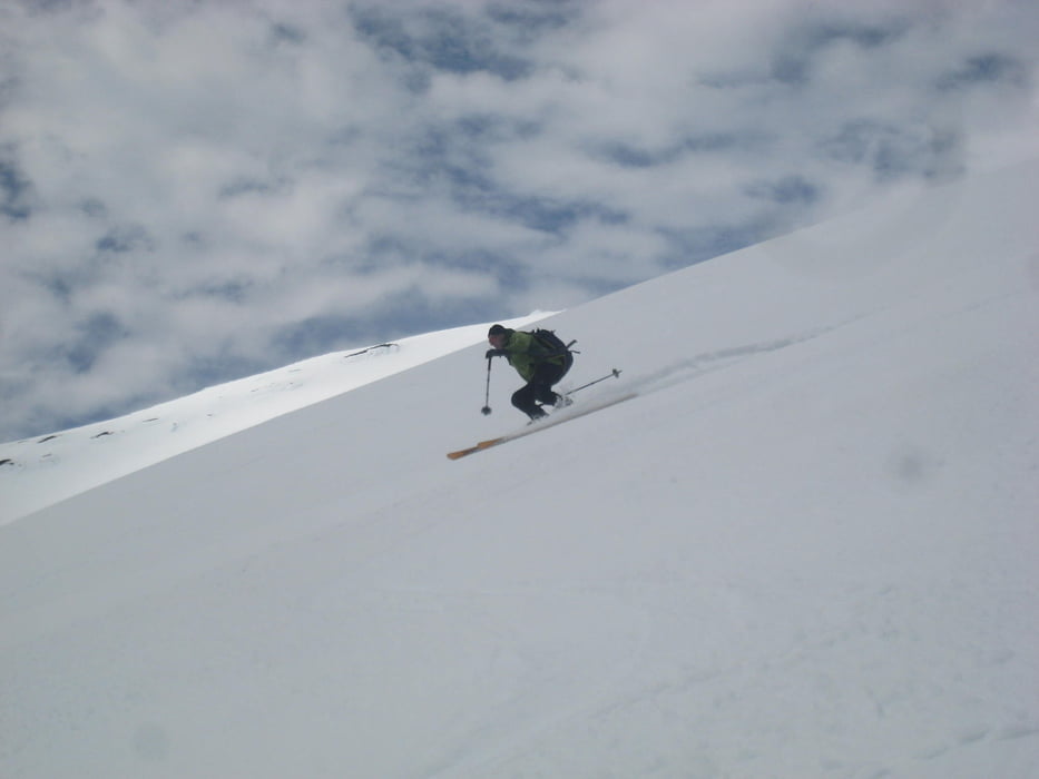
Vom Skilift zur Gipfelstation und leicht links haltend darüber hinaus. Über die Nordseite zum Gipfel ansteigen, dabei eine kurze Steilstufe überwinden (Harscheisen!). Abfahrt über die Ostseite (perfekter Firn am Vormittag) und nochmaliger Aufstieg. Dann Abfahrt wie Aufstieg.
Unten wäre es günstiger gewesen aus der Rinne nicht links zum Skilift hinaufzugehen sondern zunächst rechts haltend über kleinen Rücken zur Gipfelstation zu gehen. Damit vermeidet man die tiefen Fußspuren der Fußgänger queren zu müssen.
Galerie du tour


Carte du tour et altitude
Minimum height 1352 m
Maximum height 2824 m
More about the tour author

|
Gi |
Commentaires

Von Temuco über nach Villarica und Pucon. Vor dem Ort rechts abbiegenb zum Nationalpark und hinauf bis zum Skigebiet.
Tracks GPS
Trackpoints-
GPX / Garmin Map Source (gpx) download
-
TCX / Garmin Training Center® (tcx) download
-
CRS / Garmin Training Center® (crs) download
-
Google Earth (kml) download
-
G7ToWin (g7t) download
-
TTQV (trk) download
-
Overlay (ovl) download
-
Fugawi (txt) download
-
Kompass (DAV) Track (tk) download
-
Feuille de tours (pdf) download
-
Original file of the author (gpx) download
More about the tour author
|
|
Gi |
Add to my favorites
Remove from my favorites
Edit tags
Open track
My score
Rate