
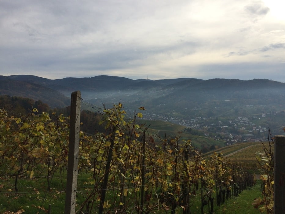

Parkplatz an der K3753 / Wintereck losgelaufen. Bergauf und bergab durch die Weinreben, stets mit einem sehr schönen Blick auf die Rheinebene und die Höhen des Nordschwarzwaldes.
Galerie du tour


Carte du tour et altitude
Minimum height 243 m
Maximum height 353 m
More about the tour author

|
thheinz |
Commentaires

Tracks GPS
Trackpoints-
GPX / Garmin Map Source (gpx) download
-
TCX / Garmin Training Center® (tcx) download
-
CRS / Garmin Training Center® (crs) download
-
Google Earth (kml) download
-
G7ToWin (g7t) download
-
TTQV (trk) download
-
Overlay (ovl) download
-
Fugawi (txt) download
-
Kompass (DAV) Track (tk) download
-
Feuille de tours (pdf) download
-
Original file of the author (gpx) download
More about the tour author
|
|
thheinz |
Add to my favorites
Remove from my favorites
Edit tags
Open track
My score
Rate