Login

Login oublié ?

Cookies have to be accepted!
Your browser's cookie functionality is disabled. Please enable this functionality.

Not a member yet?

Register now
Login

Available for registred users only

Log in to use this feature.

Login oublié ?

Cookies have to be accepted!
Your browser's cookie functionality is disabled. Please enable this functionality.

Not a member yet?

Register now
Filter
Catégories
Advanced filters
  • Longueur (km)
  • Altimètre
Enregistrer le filtre Reset filter

TrackRank

QRCode

Technical data

Longueur13,8 km Altimètre327 m Way down332 m Durée04:00 h:m Date12.11.2014
Evaluations Author Paysage Aspect amusement Condition Technique

Statistiques

371 Vues Evaluations 28 Téléchargements Moyenne
Rate
  • Feuille de tours
  • Arrivée
  • Téléchargements

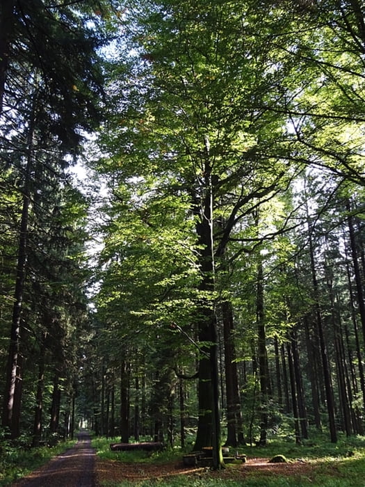
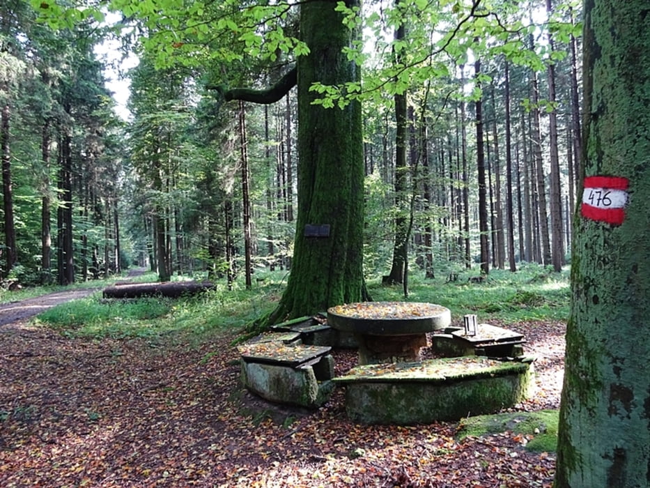
St. Martin am Ybbsfeld – Satzenberg – Winkel – Mehlberg – Fuchsstein – Obernberg – Steinerner Tisch – Scheiterbichl – Holzhacherallee – Ess – Weißes Kreuz - St. Martin

Einkehr: Gasth. Ennsbach - Gasth. Karlsbach Do-So Schihütte Hengstberg

Die Wanderkarte ist gratis am Gemeindeamt erhältlich.

2 Wohnmobilstellplätze (kein Camping)


Further information at

http://www.st-martin-karlsbach.gv.at/system/web/kontakt.aspx?menuonr=218496693

Galerie du tour

Carte du tour et altitude

  • Open Street Map
  • Google
Minimum height 241 m Maximum height 426 m Vue de détail

More about the tour author

weidjoh
Member since 2008

Send private message

Commentaires

Tracks GPS

Trackpoints
  • GPX / Garmin Map Source (gpx) download
  • TCX / Garmin Training Center® (tcx) download
  • CRS / Garmin Training Center® (crs) download
  • Google Earth (kml) download
  • G7ToWin (g7t) download
  • TTQV (trk) download
  • Overlay (ovl) download
  • Fugawi (txt) download
  • Kompass (DAV) Track (tk) download
  • Feuille de tours (pdf) download
  • Original file of the author (gpx) download

More about the tour author

weidjoh
Member since 2008

Send private message
Share track
Add to my favorites
Remove from my favorites
Edit tags
My score
Rate
Tour: Fuchsstein – Obernberg – Steinerner Tisch - 476 - St. Martin am Ybbsfeld
Cat.: Randonnées
Longueur: 13,8 km
Evaluated on:
Durée:
Day(s)
Hour(s)
Minute(s)
Evaluation: Paysage Aspect amusement Condition Technique