Login

Login oublié ?

Cookies have to be accepted!
Your browser's cookie functionality is disabled. Please enable this functionality.

Not a member yet?

Register now
Login

Available for registred users only

Log in to use this feature.

Login oublié ?

Cookies have to be accepted!
Your browser's cookie functionality is disabled. Please enable this functionality.

Not a member yet?

Register now
Filter
Catégories
Advanced filters
  • Longueur (km)
  • Altimètre
Enregistrer le filtre Reset filter

TrackRank

QRCode

Technical data

Longueur20,8 km Altimètre352 m Way down353 m Durée05:00 h:m Date23.11.2014
Evaluations Author Paysage Aspect amusement Condition Technique

Statistiques

187 Vues Evaluations 2 Téléchargements Moyenne
Rate
  • Feuille de tours
  • Arrivée
  • Téléchargements

 A Vinye 20 teljesítménytúrát megfejeltük még egy kis cseszneki vasalt úttal is.

A túra  a Vinye.hu büfétől indul,első körben a felső Cuha-völgyben halad,innen Csesznekre visz az utunk.Mi alternatív útvonalon jutottunk a várhoz,másztunk egyet az ostromlók útján.Bakonyszentkirálytól hosszú betonos gyalogút,majd csúszás-mászás az alsó Cuha-völgyben,utánna erdei-mezei séta a célig.
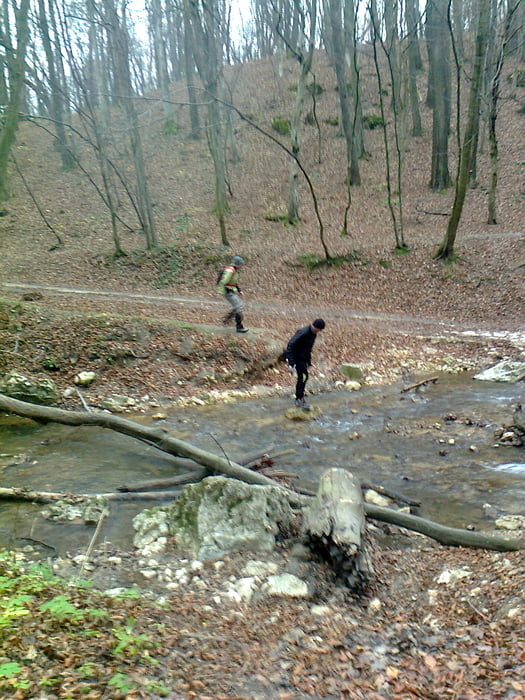
 

Galerie du tour

Carte du tour et altitude

  • Open Street Map
  • Google
Minimum height 208 m Maximum height 383 m Vue de détail

More about the tour author

frontera74
Member since 2011

Send private message

Commentaires

Vinye vasúton,vagy kocsival.

Tracks GPS

Trackpoints
  • GPX / Garmin Map Source (gpx) download
  • TCX / Garmin Training Center® (tcx) download
  • CRS / Garmin Training Center® (crs) download
  • Google Earth (kml) download
  • G7ToWin (g7t) download
  • TTQV (trk) download
  • Overlay (ovl) download
  • Fugawi (txt) download
  • Kompass (DAV) Track (tk) download
  • Feuille de tours (pdf) download
  • Original file of the author (gpx) download

More about the tour author

frontera74
Member since 2011

Send private message
Share track
Add to my favorites
Remove from my favorites
Edit tags
My score
Rate
Tour: Vinye 20-egy kis vasalt úttal
Cat.: Randonnées
Longueur: 20,8 km
Evaluated on:
Durée:
Day(s)
Hour(s)
Minute(s)
Evaluation: Paysage Aspect amusement Condition Technique