De Rode mountainbike route van Theux is een aanrader. Lange beklimmingen/afdalingen, technische gedeelte, wortels en veel stenen. Dit in combinatie met super mooie uitzichten maakt dit een super leuk rondje.
Zie de beelden voor een korte impressie.
Galerie du tour
Carte du tour et altitude
Minimum height 159 m
Maximum height 418 m
Commentaires

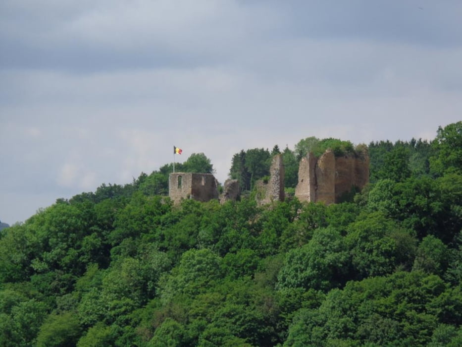
Startlocatie: Kasteel van Frachimont in Theux.
Tracks GPS
Trackpoints-
GPX / Garmin Map Source (gpx) download
-
TCX / Garmin Training Center® (tcx) download
-
CRS / Garmin Training Center® (crs) download
-
Google Earth (kml) download
-
G7ToWin (g7t) download
-
TTQV (trk) download
-
Overlay (ovl) download
-
Fugawi (txt) download
-
Kompass (DAV) Track (tk) download
-
Feuille de tours (pdf) download
-
Original file of the author (gpx) download
Add to my favorites
Remove from my favorites
Edit tags
Open track
My score
Rate


