
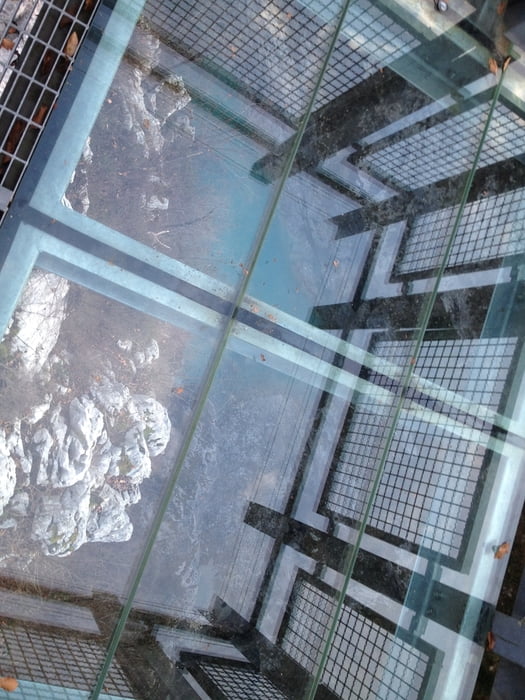

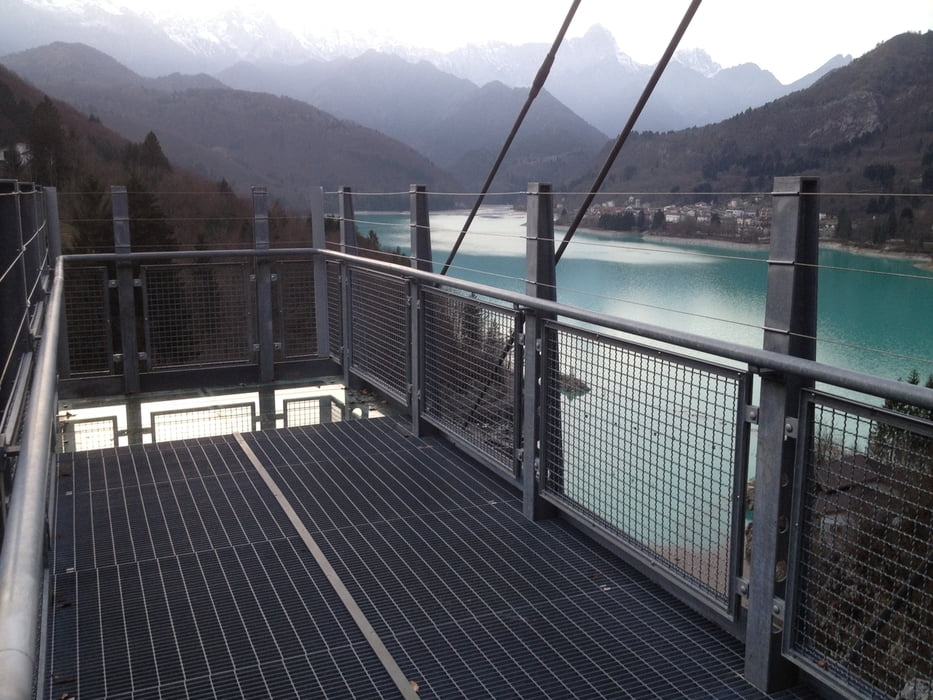
Kurze aber schöne Wanderung mit Skywalk - Aussichts-Plattform am View-Point1 auf den schönen türkisfarbenen See und Schlucht von Barcis und und 2 weiteren Aussichtspunkten. Der Dritte Punkt ist mit einer Wendeltreppe und kleine Plattform mit Ausblick auf die alte gefährliche Straße von Barcis mit der Schlucht.
Viel Spass !
Info:
Die Gemeinde Barcis liegt in Nordost-Italien in der Region Friaul-Julisch Venetien und gehört zur Provinz Pordenone. Sie liegt nördlich von Pordenone und hat 252 Einwohner (Stand 31. Dezember 2013). Sie hat einen schönen See in Türkisblau.
Galerie du tour


Carte du tour et altitude
Minimum height 322 m
Maximum height 532 m
More about the tour author
|
|
2Miki |
Commentaires

Anfahrt von Longarone über Erto und Claut nach Barcis oder alternativ von Maniago-Montreale durch den 3KM langen Tunnel nach Barcis. Start ist nach überqueren der Brücke Ponte Antoi (Nähe zu Tunnel nach Maniago) an der Osteria (Restaurant) Ponte Antoi rechts ab nach ca. 100m links hoch mit Holzwegweiser " Sentiere del Dint"
Tracks GPS
Trackpoints-
GPX / Garmin Map Source (gpx) download
-
TCX / Garmin Training Center® (tcx) download
-
CRS / Garmin Training Center® (crs) download
-
Google Earth (kml) download
-
G7ToWin (g7t) download
-
TTQV (trk) download
-
Overlay (ovl) download
-
Fugawi (txt) download
-
Kompass (DAV) Track (tk) download
-
Feuille de tours (pdf) download
-
Original file of the author (gpx) download
More about the tour author
|
|
2Miki |
Add to my favorites
Remove from my favorites
Edit tags
Open track
My score
Rate