


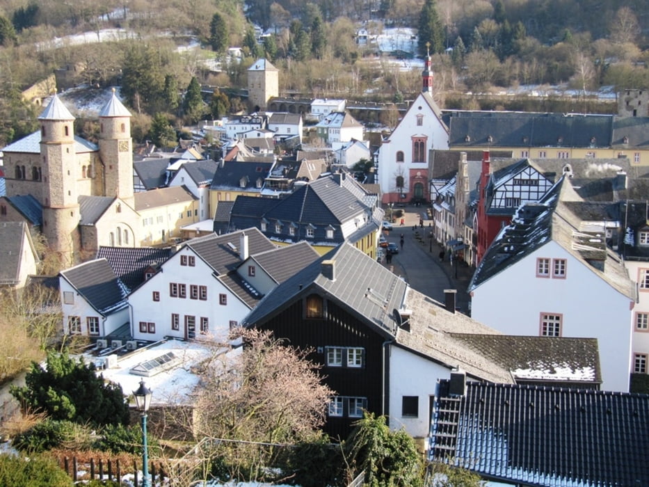
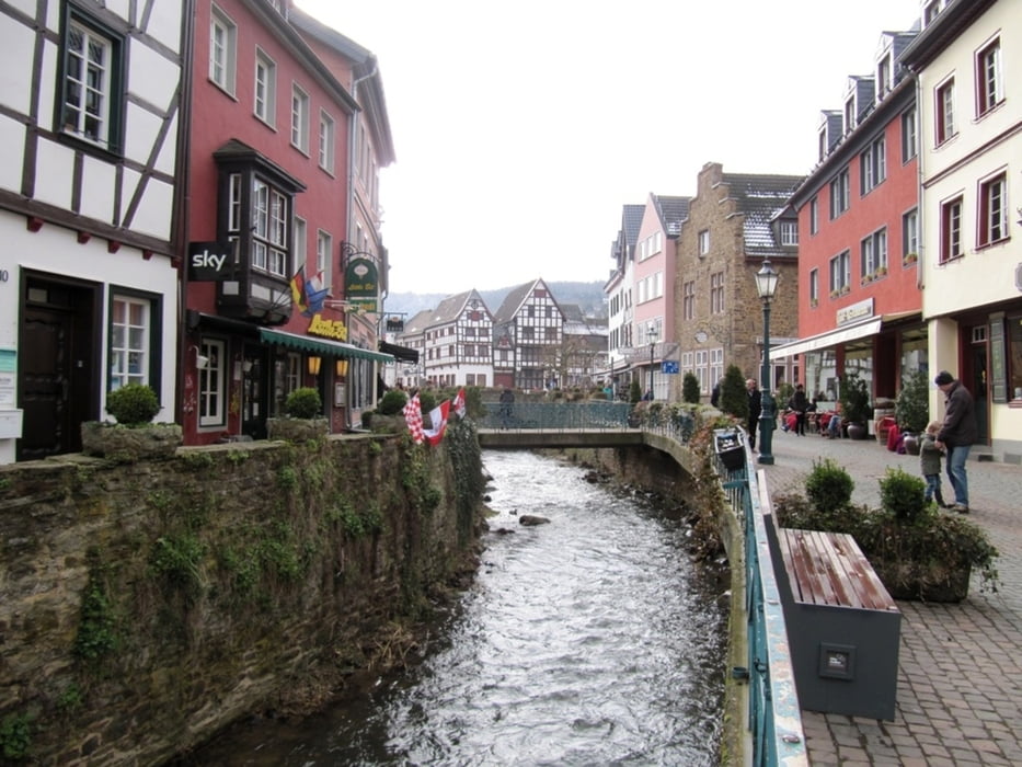
Die Tour fängt am Bahnhof Bad Münstereifel an, dort kann man auch gleich gut parken.
Man sollte die Tour langsam angehen, da sie am Anfang gleich bergan geht, dann hat man aber auch das schlimmste geschafft. Später geht es zwar nochmals hoch, aber es zieht sich länger, und so ist es nicht so schlimm. Wir wollen die Tour noch mal im Sommer gehen, dann ist sie bestimmt noch schöner.
Further information at
https://www.google.de/maps/dir//Bad+M%C3%BCnstereifel/@50.5314586,6.8112717,11z/data=!4m13!1m4!3m3!1s0x47bf06374cfd5e71:0x42760fc4a2a7a30!2sBad+M%C3%BCnstereifel!3b1!4m7!1m0!1m5!1m1!1s0x47bf06374cfd5e71:0x42760fc4a2a7a30!2m2!1d6.7612985!2d50.5576854Galerie du tour
Carte du tour et altitude
Minimum height 258 m
Maximum height 414 m
More about the tour author

|
Rancher |
Commentaires

Parken am Bahnhof Bad Münstereifel
Tracks GPS
Trackpoints-
GPX / Garmin Map Source (gpx) download
-
TCX / Garmin Training Center® (tcx) download
-
CRS / Garmin Training Center® (crs) download
-
Google Earth (kml) download
-
G7ToWin (g7t) download
-
TTQV (trk) download
-
Overlay (ovl) download
-
Fugawi (txt) download
-
Kompass (DAV) Track (tk) download
-
Feuille de tours (pdf) download
-
Original file of the author (gpx) download
More about the tour author
|
|
Rancher |
Add to my favorites
Remove from my favorites
Edit tags
Open track
My score
Rate