Login

Login oublié ?

Cookies have to be accepted!
Your browser's cookie functionality is disabled. Please enable this functionality.

Not a member yet?

Register now
Login

Available for registred users only

Log in to use this feature.

Login oublié ?

Cookies have to be accepted!
Your browser's cookie functionality is disabled. Please enable this functionality.

Not a member yet?

Register now
Filter
Catégories
Advanced filters
  • Longueur (km)
  • Altimètre
Enregistrer le filtre Reset filter

TrackRank

QRCode

Technical data

Longueur40,5 km Altimètre2329 m Way down2238 m Durée12:00 h:m Date08.02.2015
Evaluations Author Paysage Aspect amusement Condition Technique

Statistiques

535 Vues Evaluations 37 Téléchargements Moyenne
Rate
  • Feuille de tours
  • Arrivée
  • Téléchargements

grober Routenverlauf war:
Lenggries- Seekarkreuz- Klamm- Wildbad Kreuth - Grubereck - Monialm - Sutten - Skigebiet - First Alm - und dann über den Sattel neben Brecherspitze (die Brecherspitze haben wir dann nicht mehr mitgenommen:-) runter nach Neuhaus

Stirnlampe nicht vergessen!!!

Verpflegung in Monialm möglich.
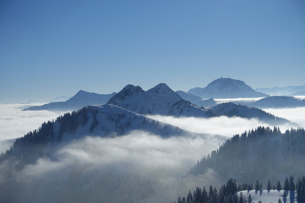
 

Galerie du tour

Carte du tour et altitude

  • Open Street Map
  • Google
Minimum height 715 m Maximum height 1652 m Vue de détail

More about the tour author

cisoid
Member since 2010

Send private message

Commentaires

mit BOB nach Lenggries und von Neuhaus mit der BOB zurück nach München 


Tracks GPS

Trackpoints
  • GPX / Garmin Map Source (gpx) download
  • TCX / Garmin Training Center® (tcx) download
  • CRS / Garmin Training Center® (crs) download
  • Google Earth (kml) download
  • G7ToWin (g7t) download
  • TTQV (trk) download
  • Overlay (ovl) download
  • Fugawi (txt) download
  • Kompass (DAV) Track (tk) download
  • Feuille de tours (pdf) download
  • Original file of the author (gpx) download

More about the tour author

cisoid
Member since 2010

Send private message
Share track
Add to my favorites
Remove from my favorites
Edit tags
My score
Rate
Tour: Mangfalldurchquerung
Cat.: Ski touring
Longueur: 40,5 km
Evaluated on:
Durée:
Day(s)
Hour(s)
Minute(s)
Evaluation: Paysage Aspect amusement Condition Technique