
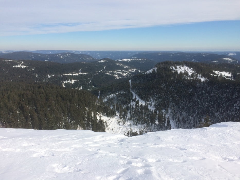

Hornisgrinde diesmal bei schönem Wetter. Daher der Abstecher zum Biberkessel.
Zunächst wieder über den Hans-Reymann-Weg zum Ochsenstall. An der Hütte links vorbei in Richtung Biberkessel. Am Biberkessel geht es bald über einen Waldpfad in Richtung Hornisgrinde.
Abfahrt über die Skipiste Ochsenstall und den Weg in Richtung Unterstmatt.
Further information at
http://www.themenpark-umwelt.baden-wuerttemberg.de/servlet/is/22542/?path=4422;6350;22298;Galerie du tour


Carte du tour et altitude
Minimum height 927 m
Maximum height 1162 m
More about the tour author

|
thheinz |
Commentaires

Tracks GPS
Trackpoints-
GPX / Garmin Map Source (gpx) download
-
TCX / Garmin Training Center® (tcx) download
-
CRS / Garmin Training Center® (crs) download
-
Google Earth (kml) download
-
G7ToWin (g7t) download
-
TTQV (trk) download
-
Overlay (ovl) download
-
Fugawi (txt) download
-
Kompass (DAV) Track (tk) download
-
Feuille de tours (pdf) download
-
Original file of the author (gpx) download
More about the tour author
|
|
thheinz |
Add to my favorites
Remove from my favorites
Edit tags
Open track
My score
Rate