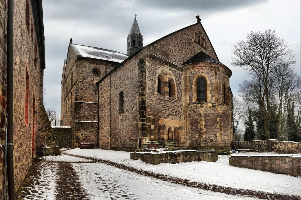
Die Wanderung beginnt am S-Bahnhof Wohnstadt Nord. Wir folgen den Gleisen bis zur Brücke, die wir nach links unterqueren. Weiter geht es zunächst leicht bergauf, bis wir freies Feld erreichen. Ab hier haben wir fast ständig Blick auf unser Wanderziel, den Petersberg mit seiner beeindruckenden Klosterkirche. Der weitere Weg führt über Fahrrad-,Feld-und Wanderwege bis zum Ziel.
Galerie du tour
Carte du tour et altitude
Minimum height 87 m
Maximum height 264 m
Commentaires

Mit S-Bahn / in Richtung Trotha bis Wohnstadt Nord
bzw. Strassenbahn 3 Richtung Trotha bis Pfarrstrasse
Rückfahrt mit Bus 300 ab Petersberg (Ende des Track)
Tracks GPS
Trackpoints-
GPX / Garmin Map Source (gpx) download
-
TCX / Garmin Training Center® (tcx) download
-
CRS / Garmin Training Center® (crs) download
-
Google Earth (kml) download
-
G7ToWin (g7t) download
-
TTQV (trk) download
-
Overlay (ovl) download
-
Fugawi (txt) download
-
Kompass (DAV) Track (tk) download
-
Feuille de tours (pdf) download
-
Original file of the author (gpx) download
Add to my favorites
Remove from my favorites
Edit tags
Open track
My score
Rate


