


Der Start ist in Herten Langenbochum in der Mühlensiedlung direckt beim Kiosk Müller.
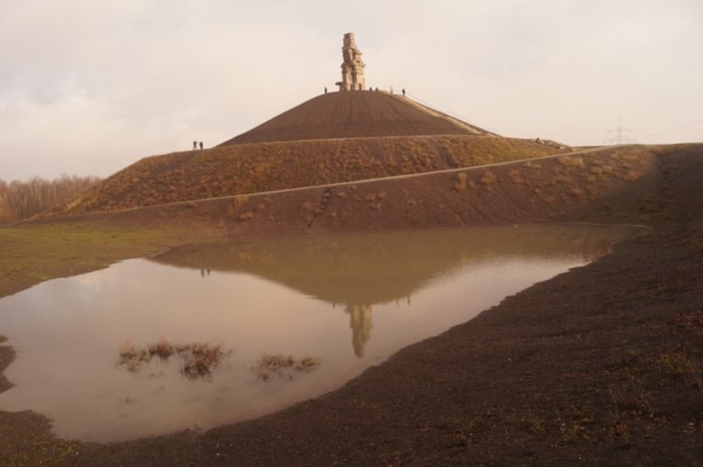
Dann geht es durch eine neue Siedlung zur Eisenbahntrasse. Diese folgen wir bis zur Halde Hoheward. An der Halde rechts vorbei passieren wir die Zeche Ewald, kommen an der Halde Hoppenbruch vorbei und fahren ein Stück an der Emscher. Wechseln an den Kanal und überqueren diesen bei ZOOM um auf die Erzbahntrasse zu gelangen. Am Picknikplatz halten wir uns rechts. Auf der Linkenseite kommt nach ein paar Km die Himmelsleiter.
Galerie du tour
Carte du tour et altitude
Minimum height 25 m
Maximum height 100 m
More about the tour author
|
|
combat55 |
Commentaires

Tracks GPS
Trackpoints-
GPX / Garmin Map Source (gpx) download
-
TCX / Garmin Training Center® (tcx) download
-
CRS / Garmin Training Center® (crs) download
-
Google Earth (kml) download
-
G7ToWin (g7t) download
-
TTQV (trk) download
-
Overlay (ovl) download
-
Fugawi (txt) download
-
Kompass (DAV) Track (tk) download
-
Feuille de tours (pdf) download
-
Original file of the author (gpx) download
More about the tour author
|
|
combat55 |
Add to my favorites
Remove from my favorites
Edit tags
Open track
My score
Rate