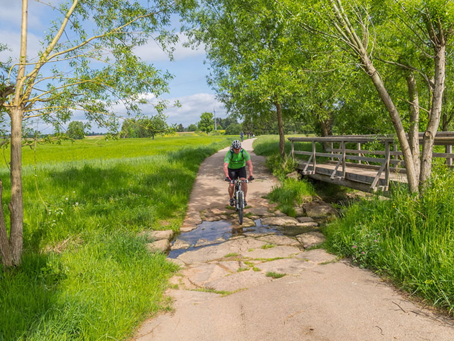
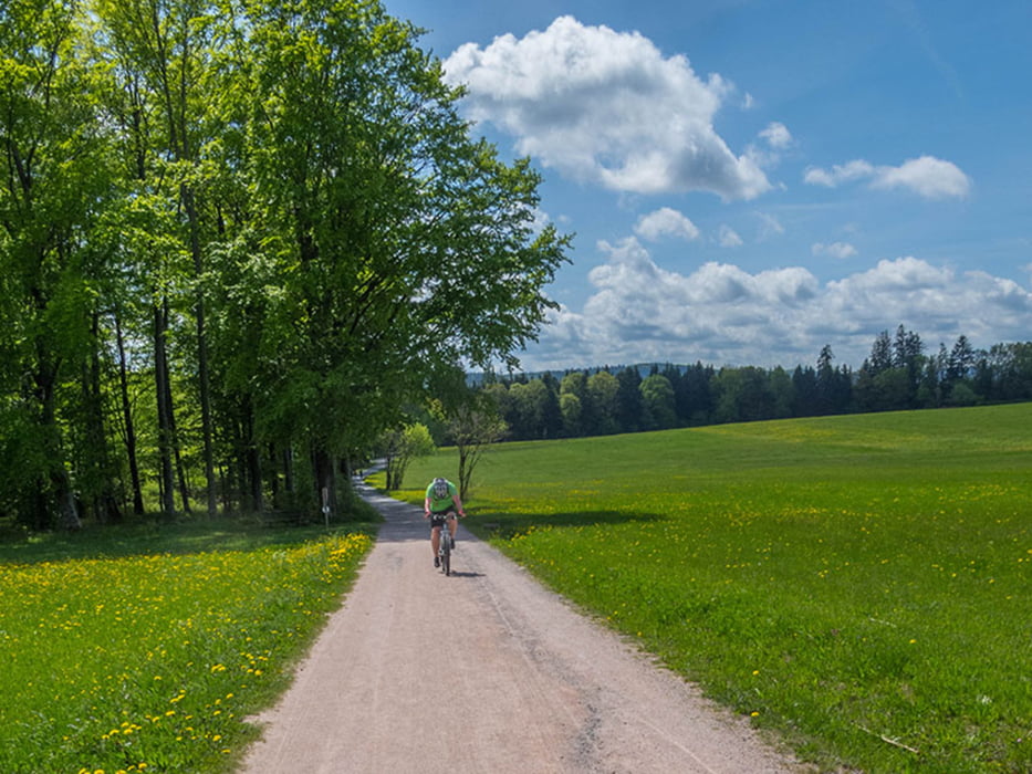
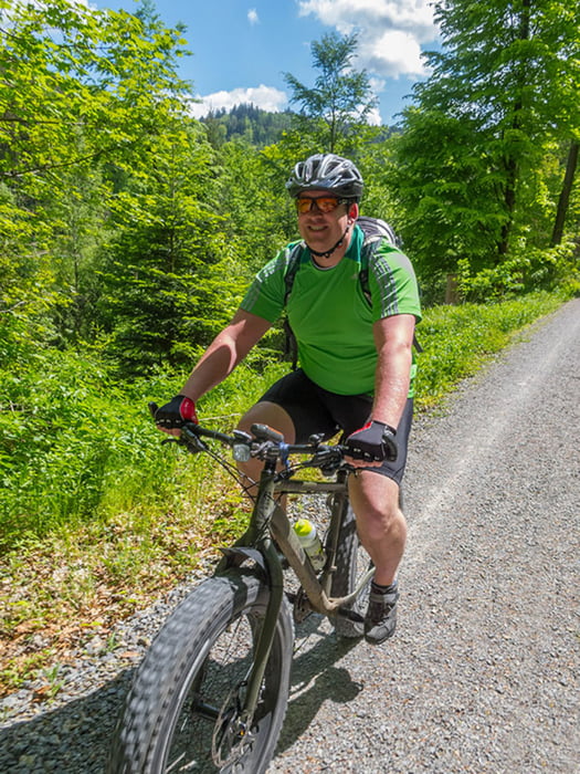
Asphalt, Waldwege und einige Trails wechseln sich ab.
Gefahrene Strecke: Busenbach - Reichenbach - Finkengrund - Stupferich - Thomashof (Treffpunkt mit Waldi) - Batzenhof - Palmbach - Reichenbach - Bethanien - (Spielberg) - Ittersbach - Feldrennach - Pfinzweiler - Conweiler - Dreimarkstein - Dobel - Bad Herrenalb (Café) - Graf-Rhena-Weg - Reichenbach - Busenbach.
Further information at
http://www.velotouren.net/radtouren/touren/touren2015/rund-um-karlsruhe/ruka1515/Galerie du tour
Carte du tour et altitude
Minimum height 190 m
Maximum height 712 m
Commentaires

Tracks GPS
Trackpoints-
GPX / Garmin Map Source (gpx) download
-
TCX / Garmin Training Center® (tcx) download
-
CRS / Garmin Training Center® (crs) download
-
Google Earth (kml) download
-
G7ToWin (g7t) download
-
TTQV (trk) download
-
Overlay (ovl) download
-
Fugawi (txt) download
-
Kompass (DAV) Track (tk) download
-
Feuille de tours (pdf) download
-
Original file of the author (gpx) download
Add to my favorites
Remove from my favorites
Edit tags
Open track
My score
Rate


