Login

Login oublié ?

Cookies have to be accepted!
Your browser's cookie functionality is disabled. Please enable this functionality.

Not a member yet?

Register now
Login

Available for registred users only

Log in to use this feature.

Login oublié ?

Cookies have to be accepted!
Your browser's cookie functionality is disabled. Please enable this functionality.

Not a member yet?

Register now
Filter
Catégories
Advanced filters
  • Longueur (km)
  • Altimètre
Enregistrer le filtre Reset filter

TrackRank

QRCode

Technical data

Longueur18,6 km Altimètre1621 m Way down1548 m Durée05:00 h:m Date16.05.2015
Evaluations Author Paysage Aspect amusement Condition Technique

Statistiques

261 Vues Evaluations 12 Téléchargements Moyenne
Rate
  • Feuille de tours
  • Arrivée
  • Téléchargements
Von Podrain zur WackendorferAlm und weiter zum FeistritzerSpitz. Abstieg über die Skipiste zum Parkplatz. Vom Parkplatz zum Startpunkt sind ed 9 km der Strasse entlang. 
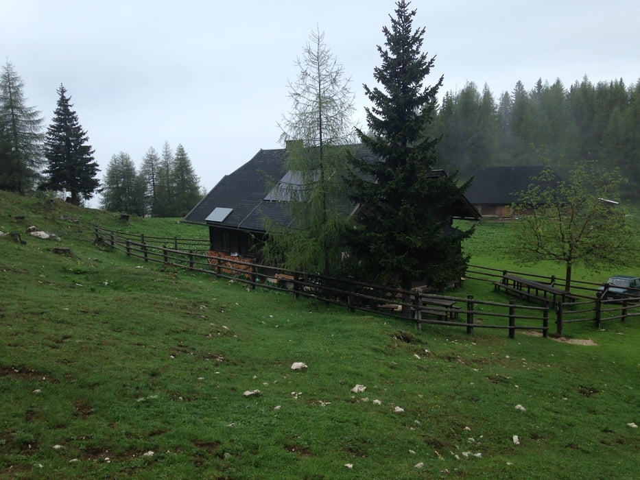
Galerie du tour

Carte du tour et altitude

  • Open Street Map
  • Google
Minimum height 579 m Maximum height 2114 m Vue de détail

More about the tour author

hermannkescher
Member since 2013

Send private message

Commentaires

Podrain bei Globasnitz

Tracks GPS

Trackpoints
  • GPX / Garmin Map Source (gpx) download
  • TCX / Garmin Training Center® (tcx) download
  • CRS / Garmin Training Center® (crs) download
  • Google Earth (kml) download
  • G7ToWin (g7t) download
  • TTQV (trk) download
  • Overlay (ovl) download
  • Fugawi (txt) download
  • Kompass (DAV) Track (tk) download
  • Feuille de tours (pdf) download
  • Original file of the author (tcx) download

More about the tour author

hermannkescher
Member since 2013

Send private message
Share track
Add to my favorites
Remove from my favorites
Edit tags
My score
Rate
Tour: Podrain-WackendorferAlm-FeistritzerSpitz-PatkplatzPetzen
Cat.: Tour en montagne
Longueur: 18,6 km
Evaluated on:
Durée:
Day(s)
Hour(s)
Minute(s)
Evaluation: Paysage Aspect amusement Condition Technique