Login

Login oublié ?

Cookies have to be accepted!
Your browser's cookie functionality is disabled. Please enable this functionality.

Not a member yet?

Register now
Login

Available for registred users only

Log in to use this feature.

Login oublié ?

Cookies have to be accepted!
Your browser's cookie functionality is disabled. Please enable this functionality.

Not a member yet?

Register now
Filter
Catégories
Advanced filters
  • Longueur (km)
  • Altimètre
Enregistrer le filtre Reset filter

TrackRank

QRCode

Technical data

Longueur12,4 km Altimètre336 m Way down336 m Durée03:20 h:m Date19.06.2015
Evaluations Author Paysage Aspect amusement Condition Technique

Statistiques

405 Vues Evaluations 11 Téléchargements Moyenne
Rate
  • Feuille de tours
  • Arrivée
  • Téléchargements

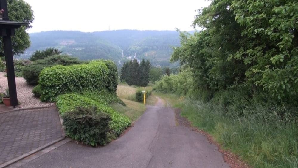
Eine beschauliche Rundtour. Gleich vom „Eifelblick“ Tempelchen geht es kurz steil bergan nach Scheuren hoch. Über die Olefer Hardt wandert man Richtung Herhahn und Hühnerbusch; später dem Bach Schloßsief und Höddelbach entlang zurück nach Scheuren.


Galerie du tour

Carte du tour et altitude

  • Open Street Map
  • Google
Minimum height 379 m Maximum height 528 m Vue de détail

More about the tour author

Tretroller
Member since 2008

Send private message

Commentaires

Wir fahren nach 53937 Schleiden in Richtung des Ortes Scheuren auf der Scheurener Straße bis zum Tempelchen. Hier gibt es nur wenige Parkmöglichkeiten.


Tracks GPS

Trackpoints
  • GPX / Garmin Map Source (gpx) download
  • TCX / Garmin Training Center® (tcx) download
  • CRS / Garmin Training Center® (crs) download
  • Google Earth (kml) download
  • G7ToWin (g7t) download
  • TTQV (trk) download
  • Overlay (ovl) download
  • Fugawi (txt) download
  • Kompass (DAV) Track (tk) download
  • Feuille de tours (pdf) download
  • Original file of the author (gpx) download

More about the tour author

Tretroller
Member since 2008

Send private message
Share track
Add to my favorites
Remove from my favorites
Edit tags
My score
Rate
Tour: Schleiden-Scheuren Tempelchen
Cat.: Randonnées
Longueur: 12,4 km
Evaluated on:
Durée:
Day(s)
Hour(s)
Minute(s)
Evaluation: Paysage Aspect amusement Condition Technique