Login

Login oublié ?

Cookies have to be accepted!
Your browser's cookie functionality is disabled. Please enable this functionality.

Not a member yet?

Register now
Login

Available for registred users only

Log in to use this feature.

Login oublié ?

Cookies have to be accepted!
Your browser's cookie functionality is disabled. Please enable this functionality.

Not a member yet?

Register now
Filter
Catégories
Advanced filters
  • Longueur (km)
  • Altimètre
Enregistrer le filtre Reset filter

TrackRank

QRCode

Technical data

Longueur16,4 km Altimètre884 m Way down690 m Durée05:00 h:m Date25.06.2015
Evaluations Author Paysage Aspect amusement Condition Technique

Statistiques

212 Vues Evaluations 6 Téléchargements Moyenne
Rate
  • Feuille de tours
  • Arrivée
  • Téléchargements
Sehr schöne Strecke, hauptsächlich auf angenehmen Wanderwegerl.
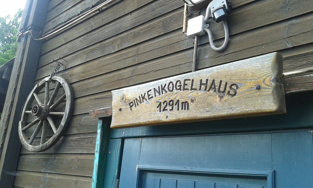
Anfangs teils steile 700 hm auf knapp 5 km. Freundliche Pinkenkogelhütte!
 

Galerie du tour

Carte du tour et altitude

  • Open Street Map
  • Google
Minimum height 787 m Maximum height 1535 m Vue de détail

More about the tour author

mitter
Member since 2008

Send private message

Commentaires

Start in Spital am Semmering bei der Kirche.

Ankunft in Semmering am Parkplatz der Bergbahnen Hirschenkogel.


Tracks GPS

Trackpoints
  • GPX / Garmin Map Source (gpx) download
  • TCX / Garmin Training Center® (tcx) download
  • CRS / Garmin Training Center® (crs) download
  • Google Earth (kml) download
  • G7ToWin (g7t) download
  • TTQV (trk) download
  • Overlay (ovl) download
  • Fugawi (txt) download
  • Kompass (DAV) Track (tk) download
  • Feuille de tours (pdf) download
  • Original file of the author (gpx) download

More about the tour author

mitter
Member since 2008

Send private message
Share track
Add to my favorites
Remove from my favorites
Edit tags
My score
Rate
Tour: Kampalpe-Pinkenkogelhütte 150621
Cat.: Randonnées
Longueur: 16,4 km
Evaluated on:
Durée:
Day(s)
Hour(s)
Minute(s)
Evaluation: Paysage Aspect amusement Condition Technique