Der Track zeigt die EINFACHSTE Aufstiegsvariante. Der Abstieg erfolg über eine weitere Variante. Die Tour setzt sich fort bis zum Engeradsgundsee und für dann über die Käseralpe zurück zum Giebelhaus und Hinterstein.
Ein echter Geheimtip / Einheimischentour. Der Aufstieg hat es allerdings in sich. Absolute Trittsicherheit im weglosen Gelände und Schwindelfreiheit im Steilgras sind Voraussetzung. Also nix für "ich schau mir das halt mal an - und war vorher noch nie auf nem Berg-Bergsteiger".
Die aus dem Track ersichtliche Tourenlänge passt natürlich nicht wirklich. Da die Strecke Hinterstein - Giebelhaus ca. 10 KM ausmacht. Somit verbleiben an reiner Tourenlänge 11,5 Kilometer.
Eine detailierte Beschreibung habe ich ja schon mal in einer anderen Variante gepostet: http://www.gps-tour.info/de/touren/detail.117565.html
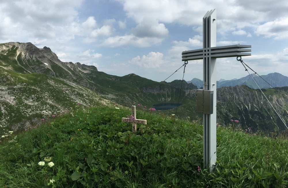
Danke an Festivaltors für das sehr sehr schöne neue Gipfelkreuz!!!
http://www.festivaltour.de/forum/
https://www.facebook.com/festivaltour.de?fref=ts
Galerie du tour
Carte du tour et altitude
Commentaires

Von Sonthofen kommenend Richtung Bad Hindelang. Dort weiter nach Hinterstein.
Dann mit der privaten Buslinie oder dem Mountainbike weiter zum Giebelhaus. Dort startet die Tour
Tracks GPS
Trackpoints-
GPX / Garmin Map Source (gpx) download
-
TCX / Garmin Training Center® (tcx) download
-
CRS / Garmin Training Center® (crs) download
-
Google Earth (kml) download
-
G7ToWin (g7t) download
-
TTQV (trk) download
-
Overlay (ovl) download
-
Fugawi (txt) download
-
Kompass (DAV) Track (tk) download
-
Feuille de tours (pdf) download
-
Original file of the author (gpx) download


