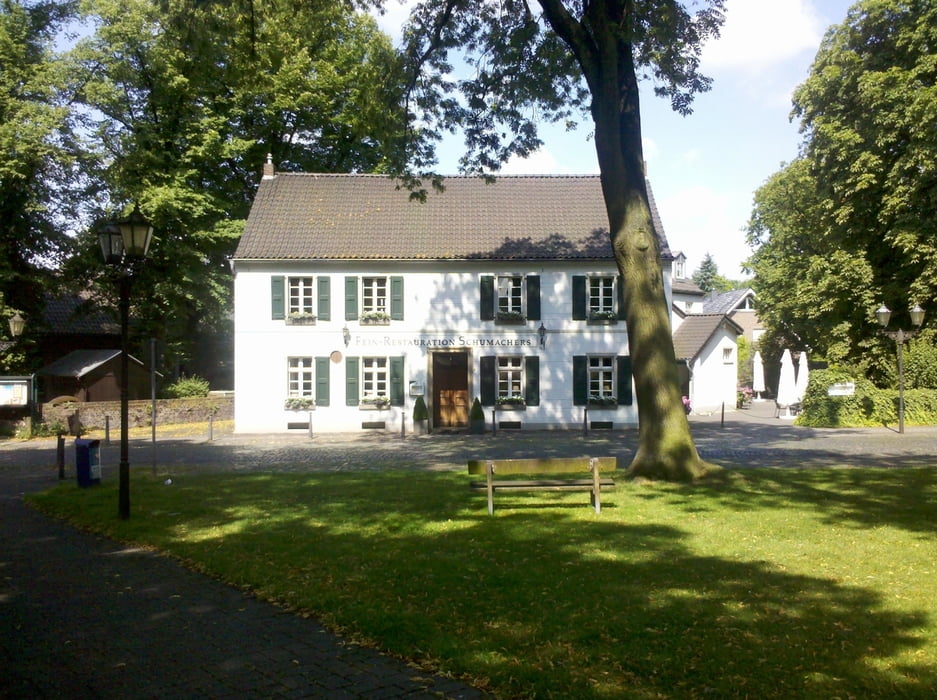
Ich habe die Tour 12 „Licht und Schatten“ („Radfahren und entdecken! Ruhrgebiet“ von Wolfgang Berke, Klartext-Verlag, Essen) als Grundlage für meine Fahrt genommen. Start und Ziel ist bei mir der Duisburger Hbf.
Obwohl das Buch schon 2003 erschienen ist, hat sich an dem beschriebenen Zustand der Radwege kaum etwas geändert.
Further information at
http://www.iruhr.com/dlc/product_info.php/info/p73_Radfahren-und-Entdecken---Ruhrgebiet--GPS-Daten-.htmlGalerie du tour
Carte du tour et altitude
Minimum height 28 m
Maximum height 68 m
Commentaires

Tracks GPS
Trackpoints-
GPX / Garmin Map Source (gpx) download
-
TCX / Garmin Training Center® (tcx) download
-
CRS / Garmin Training Center® (crs) download
-
Google Earth (kml) download
-
G7ToWin (g7t) download
-
TTQV (trk) download
-
Overlay (ovl) download
-
Fugawi (txt) download
-
Kompass (DAV) Track (tk) download
-
Feuille de tours (pdf) download
-
Original file of the author (gpx) download
Add to my favorites
Remove from my favorites
Edit tags
Open track
My score
Rate


