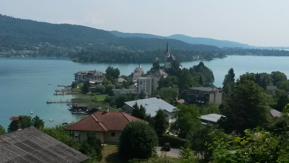
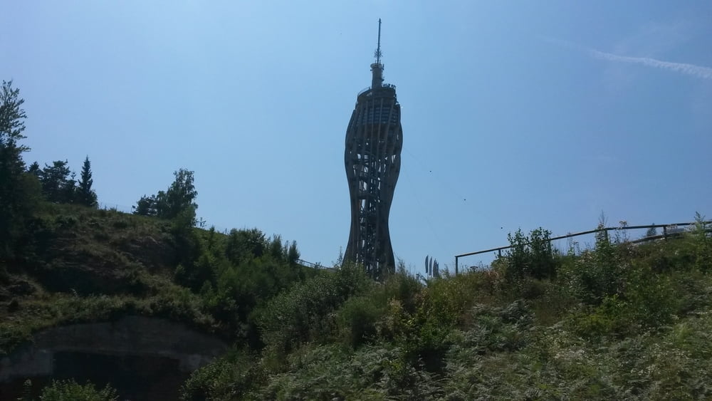
Die Tour beginnt in Keutschach und führt über Schiefling auf den Pyramidenkogel (großteils auf Forststraßen). Wieder retour nach Maria Wörth und entlang der Bundesstraße nach Sekirn. Weiter übern Berg nach Pertitschach und wieder zum Ausgangsziel Keutschach. Für Rennräder ungeeignet.
Galerie du tour
Carte du tour et altitude
Minimum height 456 m
Maximum height 848 m
Commentaires

Tracks GPS
Trackpoints-
GPX / Garmin Map Source (gpx) download
-
TCX / Garmin Training Center® (tcx) download
-
CRS / Garmin Training Center® (crs) download
-
Google Earth (kml) download
-
G7ToWin (g7t) download
-
TTQV (trk) download
-
Overlay (ovl) download
-
Fugawi (txt) download
-
Kompass (DAV) Track (tk) download
-
Feuille de tours (pdf) download
-
Original file of the author (gpx) download
Add to my favorites
Remove from my favorites
Edit tags
Open track
My score
Rate


