

Tour startet in Zermatt im Zentrum, etwas schwierige Wegfindung für uns durch die Menschenmassen. Entspannte Auffahrt Richtung Sunnega, in der Folge auf gut fahrbaren Weg hinauf Richtung Fluhalp (2616m) Grösste Schwierigkeit sicher die vielen Wanderer und die Höhe. Ausserdem muss man permanent anhalten um das Panorama zu bestaunen... Abfahrt anfangs gut fahrbarer hochalpiner Trail (S1/S2) später auf dem Auffahrtsweg zurück nach Sunnega, ab hier gehts in die Weltcupabfahrt, die unterschiedliche Schwierigkeiten bietet, trotzdem sind auch die easy lines nicht ohne, Konzentration empfohlen... Aus Zermatt heraus geht es die Alternativvariante zur Strasse zurück nach Täsch/Randa, ein abwechslungsreicher Trail (S1) oberhalb/neben der Bahnlinie, der einen schönen Abschluss der Tour bietet.
Extrem viele Wanderer unterwegs, entsprechende Rücksicht und Freundlichkeit geboten... Gute Fahrtechnik und Material können auch nicht schaden...
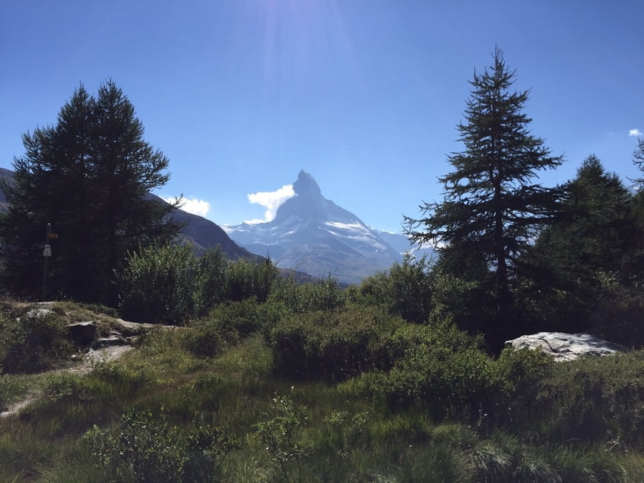
Galerie du tour

Carte du tour et altitude
Minimum height 1435 m
Maximum height 2622 m
More about the tour author
|
|
Thane |
Commentaires

Tracks GPS
Trackpoints-
GPX / Garmin Map Source (gpx) download
-
TCX / Garmin Training Center® (tcx) download
-
CRS / Garmin Training Center® (crs) download
-
Google Earth (kml) download
-
G7ToWin (g7t) download
-
TTQV (trk) download
-
Overlay (ovl) download
-
Fugawi (txt) download
-
Kompass (DAV) Track (tk) download
-
Feuille de tours (pdf) download
-
Original file of the author (gpx) download
More about the tour author
|
|
Thane |
Add to my favorites
Remove from my favorites
Edit tags
Open track
My score
Rate