


Gmünd-Spittal-Möllbrücke-Fellbach-Alm hinterm Brunn-
Techendorf-Naggler Alm-Jadersdorfer Alm-Naggl-
Paterzipf (Weißensee)-Techendorf-Greifenburg-
(nach Spittal mit dem Zug)-Spittal-Gmünd
Bis auf die lange Anreise zum Berg (41km) eine wunderbare Tour! Rauf nach Alm hinterm Brunn relativ steil und grobschottrig, aber durchaus fahrbar.
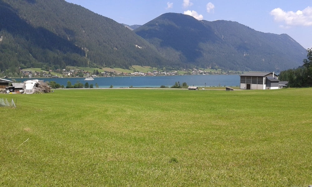
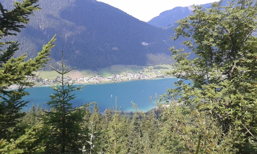
Hinunter zum See ebenso. Bis zur Naggler Alm angenehme Schotterpiste, dann ein bisschen rauher. Immer wieder herrliche Ausblicke auf den See!
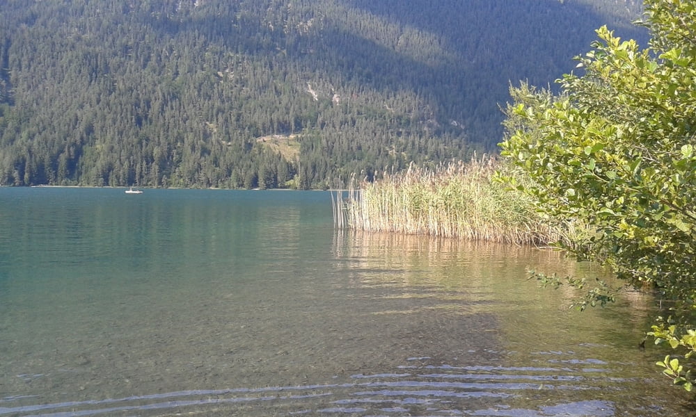
Bad am Paterzipf! Am Seeufer entlang, dann hinunter nach Greifenburg auf der Straße.
Zug um 17.54 Uhr nach Spittal.
Von dort zum Ausrollen noch zurück nach Gmünd auf der Straße.
Galerie du tour
Carte du tour et altitude
Minimum height 531 m
Maximum height 1506 m
More about the tour author
|
|
mitter |
Commentaires

Start in Gmünd beim Porsche Museum.
Tracks GPS
Trackpoints-
GPX / Garmin Map Source (gpx) download
-
TCX / Garmin Training Center® (tcx) download
-
CRS / Garmin Training Center® (crs) download
-
Google Earth (kml) download
-
G7ToWin (g7t) download
-
TTQV (trk) download
-
Overlay (ovl) download
-
Fugawi (txt) download
-
Kompass (DAV) Track (tk) download
-
Feuille de tours (pdf) download
-
Original file of the author (gpx) download
More about the tour author
|
|
mitter |
Add to my favorites
Remove from my favorites
Edit tags
Open track
My score
Rate