
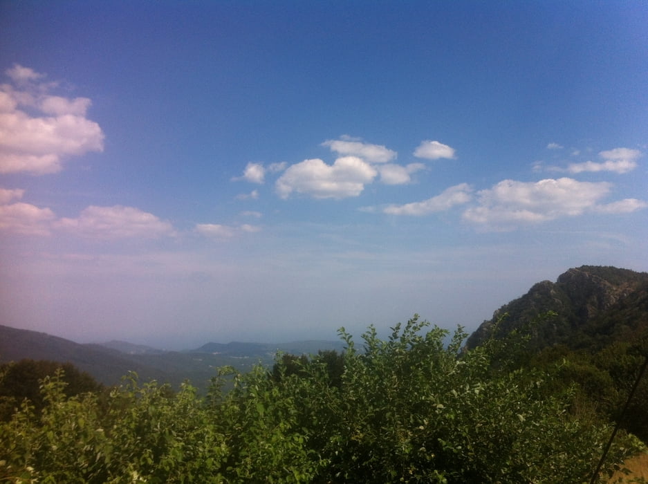

Lange Auffahrt auf der Straße von Finale nach Calice, weiter nach Rialto. Dann teilweise sehr steiler Schotterweg rauf bis nach Melogno zur Bar DIN.
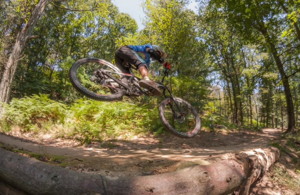
Zurück gehts ein kurzes Stück den hinweg entlang bis zur Abzweigung. Hier den linken Weg wählen der zunächst noch ein paar Meter nach oben führt. Zunächst eher flach schlängelt sich der Trail noch eine Weile den Berg entlang und baut immer mehr Flow und Gefälle auf. Im folgenden wirds immer technischer. Steile Rampen, heftge Gegenkompressionen, Stufen und gegen Ende ein schön verblockter Downhill über Felsen garantieren Abwechslung und Spaß.
Rückfahrt wieder auf der Straße zurück nach Finale.
Galerie du tour


Carte du tour et altitude
Minimum height 5 m
Maximum height 985 m
More about the tour author
|
|
bugxx |
Commentaires

Tracks GPS
Trackpoints-
GPX / Garmin Map Source (gpx) download
-
TCX / Garmin Training Center® (tcx) download
-
CRS / Garmin Training Center® (crs) download
-
Google Earth (kml) download
-
G7ToWin (g7t) download
-
TTQV (trk) download
-
Overlay (ovl) download
-
Fugawi (txt) download
-
Kompass (DAV) Track (tk) download
-
Feuille de tours (pdf) download
-
Original file of the author (gpx) download
More about the tour author
|
|
bugxx |
Add to my favorites
Remove from my favorites
Edit tags
Open track
My score
Rate