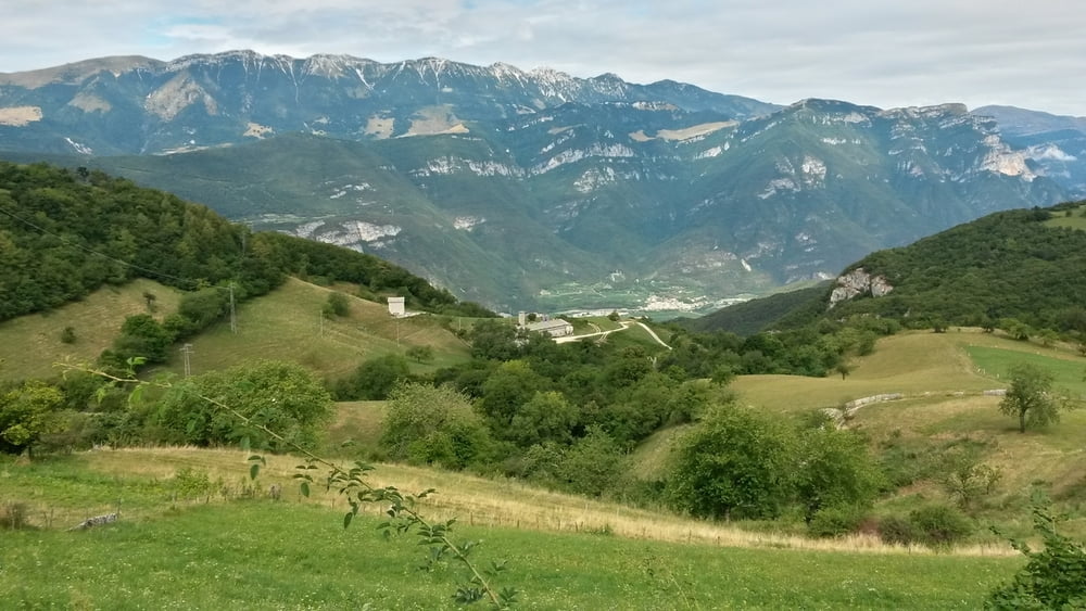
Start und Ziel in Peschiera am Gardasee. Schöne Ausfahrt aus Verona auf Serpentinenstraße führ t auf einen schmalen aber durchgehend geteerten Weg, der entlang eines Höhenrückens nach Norden führt. Vorsicht bei der Abfahrt. Im Tal geht es auf einer breiteren Landstraße weiter in die Berge. In einer Kehre führt der Weg gerade in einen schmalen Canyon, der sich fast bis nach Fosse hoch zieht. Von Fosse über die Wellnessabfahrt nach Sant Anbrogio del Valpolicella.
Carte du tour et altitude
Minimum height 68 m
Maximum height 978 m
Commentaires

Tracks GPS
Trackpoints-
GPX / Garmin Map Source (gpx) download
-
TCX / Garmin Training Center® (tcx) download
-
CRS / Garmin Training Center® (crs) download
-
Google Earth (kml) download
-
G7ToWin (g7t) download
-
TTQV (trk) download
-
Overlay (ovl) download
-
Fugawi (txt) download
-
Kompass (DAV) Track (tk) download
-
Feuille de tours (pdf) download
-
Original file of the author (gpx) download
Add to my favorites
Remove from my favorites
Edit tags
Open track
My score
Rate


