


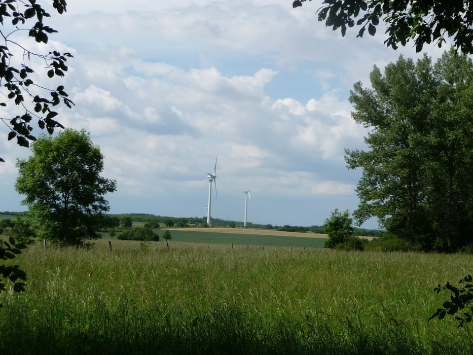
Strecke abseits von Straßen. Sie verläuft zu großen Teilen unter Bäumen und ist somit gerade im Sommer angenehm zu fahren. Mehrere Kilometer geht es entlang des Mittellandkanals. Rückweg ist mit der S-Bahn sowohl von Burgdorf als auch von Laatzen möglich.
Galerie du tour
Carte du tour et altitude
Minimum height -25847 m
Maximum height -25833 m
More about the tour author

|
rudialtig |
Commentaires

Tracks GPS
Trackpoints-
GPX / Garmin Map Source (gpx) download
-
TCX / Garmin Training Center® (tcx) download
-
CRS / Garmin Training Center® (crs) download
-
Google Earth (kml) download
-
G7ToWin (g7t) download
-
TTQV (trk) download
-
Overlay (ovl) download
-
Fugawi (txt) download
-
Kompass (DAV) Track (tk) download
-
Feuille de tours (pdf) download
-
Original file of the author (gpx) download
More about the tour author
|
|
rudialtig |
Add to my favorites
Remove from my favorites
Edit tags
Open track
My score
Rate