


Startpunkt ist das Rotkreuzzentrum in Klagenfurt. Entlang der Glan den R7 bis zur Glanbrücke Poppichl, dort Wechsel auf die Göriach-Karnburger Strasse. Abzweigung links nach Wrießnitz mit Steigung, weiter nach Stegendorf, St. Peter am Bichl, dort Abzweigung nach rechts Richtung Karnberg. Stetige Steigung mit Blick ins Glantal bis Eberdorf, Karnberg. Abfahrt im Beerental, Abzweigung nach rechts nach Preilitz bergauf. Von Preilitznur mehr bergab über Unterwuhr zur Hörzendorfer Strasse. Pörtschach am Berg, Karnburg, wieder die Karnburger Strasse westlich der Glan zurück nach Poppichl.
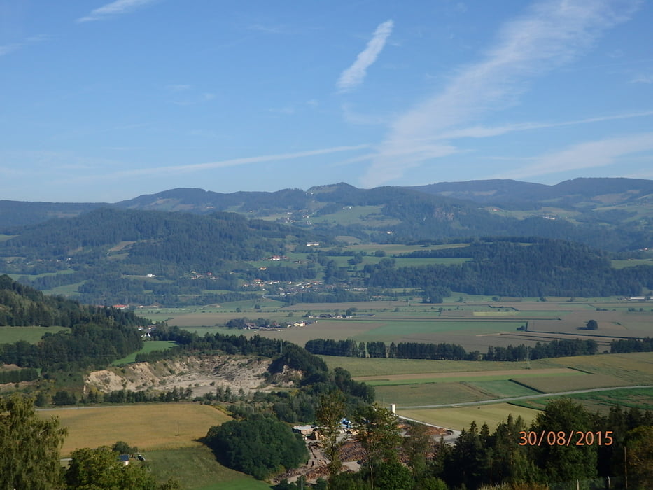
Galerie du tour


Carte du tour et altitude
Minimum height 363 m
Maximum height 651 m
More about the tour author
|
|
walderich |
Commentaires

Tracks GPS
Trackpoints-
GPX / Garmin Map Source (gpx) download
-
TCX / Garmin Training Center® (tcx) download
-
CRS / Garmin Training Center® (crs) download
-
Google Earth (kml) download
-
G7ToWin (g7t) download
-
TTQV (trk) download
-
Overlay (ovl) download
-
Fugawi (txt) download
-
Kompass (DAV) Track (tk) download
-
Feuille de tours (pdf) download
-
Original file of the author (gpx) download
More about the tour author
|
|
walderich |
Add to my favorites
Remove from my favorites
Edit tags
Open track
My score
Rate