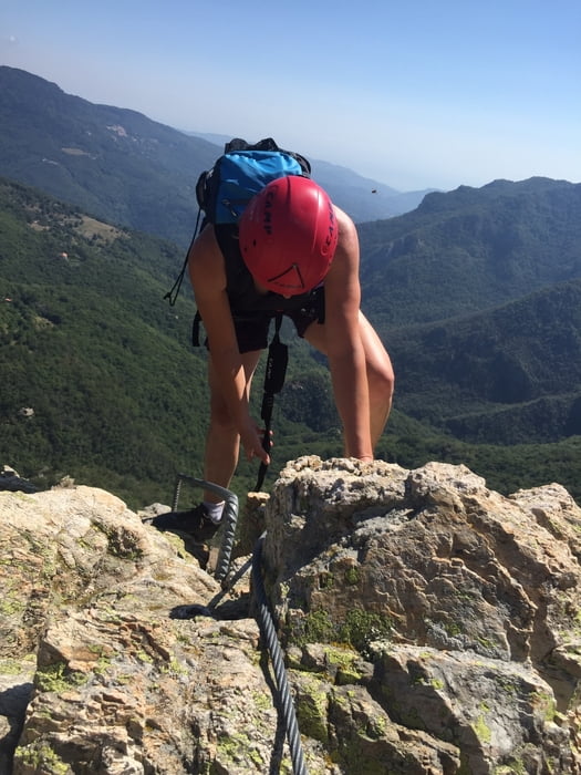
Wunderschöner Klettersteig, technisch nicht besonders anspruchsvoll aber aufgrund der großen Höhe und Wegführung eintlang des Berggrades doch anspruchsvoll.
Die Schlenker am Anfang der Route und nach dem Klettersteig zu Beginn des Abstiege könnt ihr Euch schenken...haben den Weg gesucht.
Carte du tour et altitude
Minimum height 623 m
Maximum height 1298 m
Commentaires

Tracks GPS
Trackpoints-
GPX / Garmin Map Source (gpx) download
-
TCX / Garmin Training Center® (tcx) download
-
CRS / Garmin Training Center® (crs) download
-
Google Earth (kml) download
-
G7ToWin (g7t) download
-
TTQV (trk) download
-
Overlay (ovl) download
-
Fugawi (txt) download
-
Kompass (DAV) Track (tk) download
-
Feuille de tours (pdf) download
-
Original file of the author (gpx) download
Add to my favorites
Remove from my favorites
Edit tags
Open track
My score
Rate

