Login

Login oublié ?

Cookies have to be accepted!
Your browser's cookie functionality is disabled. Please enable this functionality.

Not a member yet?

Register now
Login

Available for registred users only

Log in to use this feature.

Login oublié ?

Cookies have to be accepted!
Your browser's cookie functionality is disabled. Please enable this functionality.

Not a member yet?

Register now
Filter
Catégories
Advanced filters
  • Longueur (km)
  • Altimètre
Enregistrer le filtre Reset filter

TrackRank

QRCode

Technical data

Longueur124,9 km Altimètre1209 m Way down1201 m Durée05:30 h:m Date06.09.2015
Evaluations Author Paysage Aspect amusement Condition Technique

Statistiques

635 Vues Evaluations 127 Téléchargements Moyenne
Rate
  • Feuille de tours
  • Arrivée
  • Téléchargements

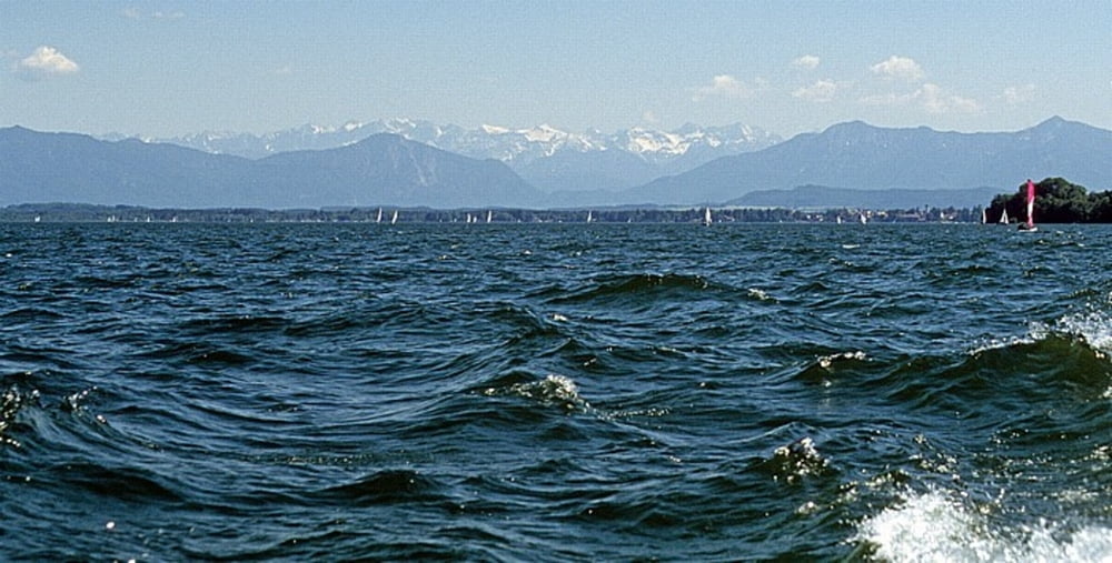
Forstenrieder Park zum Aufwärmen und dann den Würmtal-Trail weiter bis zum Starnberger See mit Blick in das Wettersteingebirge. Der Allmannshauser Filz und die Abfahrt im Höllgraben sind im Herbst besonders romantisch.


Carte du tour et altitude

  • Open Street Map
  • Google
Minimum height 575 m Maximum height 707 m Vue de détail

More about the tour author

jufischi
Member since 2011

Send private message

Commentaires

strandet on 24.09.2017

über Stock und Stein

ist der richtige Ausdruck für die 1. Hälfte der Tour. Überwiegend einsame Waldpfade tlw. auch mal etwas feucht. Ab der 2. Hälfte kann man es dann richtig rauschen lassen. Habe heute die Tour gemacht und hatte riesige Spaß.
Vielen Dank

Tracks GPS

Trackpoints
  • GPX / Garmin Map Source (gpx) download
  • TCX / Garmin Training Center® (tcx) download
  • CRS / Garmin Training Center® (crs) download
  • Google Earth (kml) download
  • G7ToWin (g7t) download
  • TTQV (trk) download
  • Overlay (ovl) download
  • Fugawi (txt) download
  • Kompass (DAV) Track (tk) download
  • Feuille de tours (pdf) download
  • Original file of the author (gpx) download

More about the tour author

jufischi
Member since 2011

Send private message
Share track
Add to my favorites
Remove from my favorites
Edit tags
My score
Rate
Tour: über Stock und Stein im Süden von München
Cat.: Mountainbike
Longueur: 124,9 km
Evaluated on:
Durée:
Day(s)
Hour(s)
Minute(s)
Evaluation: Paysage Aspect amusement Condition Technique