Gestartet sind wir am Bahnhof von Geising.
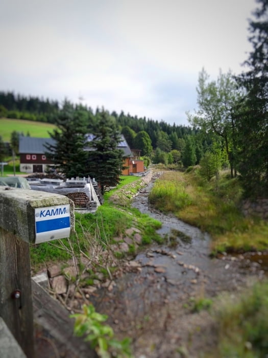
Von hier aus startet der sehr gut ausgeschliderte Kammweg (blau-weiß-blau) in Richtung Vogtland.
Eine größere Pause haben wir auf dem Schwartenstein, zwischen Neuhausen und Seiffen eingelegt. Dies war c.a. die Hälfte der Tour.
Danach ging es weiter nach Kühnhaide, wo sich unser geplantes Ziel befand.
Übernachtet haben wir dann in der Pension der Familie Hunger. www.schwarzwassertal.kuehnhaide.de/
Galerie du tour
Carte du tour et altitude
Minimum height 348 m
Maximum height 948 m
Commentaires

Tracks GPS
Trackpoints-
GPX / Garmin Map Source (gpx) download
-
TCX / Garmin Training Center® (tcx) download
-
CRS / Garmin Training Center® (crs) download
-
Google Earth (kml) download
-
G7ToWin (g7t) download
-
TTQV (trk) download
-
Overlay (ovl) download
-
Fugawi (txt) download
-
Kompass (DAV) Track (tk) download
-
Feuille de tours (pdf) download
-
Original file of the author (gpx) download
Add to my favorites
Remove from my favorites
Edit tags
Open track
My score
Rate


