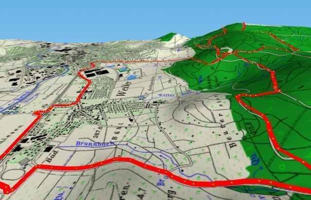
Start an der S-Bahn bei Weiler (vor Schorndorf). Sehr schöne Tour durch viel Wald und fast ohne Autos. Tolle Anstiege und zwei schöne Möglichkeiten für ein Radler.
Galerie du tour
Carte du tour et altitude
Minimum height 242 m
Maximum height 512 m
Commentaires
Tracks GPS
Trackpoints-
GPX / Garmin Map Source (gpx) download
-
TCX / Garmin Training Center® (tcx) download
-
CRS / Garmin Training Center® (crs) download
-
Google Earth (kml) download
-
G7ToWin (g7t) download
-
TTQV (trk) download
-
Overlay (ovl) download
-
Fugawi (txt) download
-
Kompass (DAV) Track (tk) download
-
Feuille de tours (pdf) download
-
Original file of the author (g7t) download
Add to my favorites
Remove from my favorites
Edit tags
Open track
My score
Rate


Nähe
Mfg Gideon