


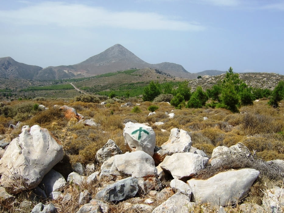
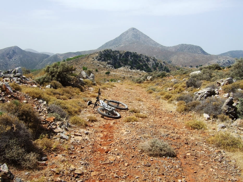
Es handelt sich um eine etwas kürzere Tour ausgehend vom Amoudhara, westlich von Heraklion. Über Schotter und viel Asphalt geht es rauf bis zu einer Art Hochebene, auf der noch ein ganze Reihe anderer Trails zu finden sind. Die Route führt bis zur Kante der Ebene. Hinter dem Zaun hat man eine sehr schöne Aussicht auf Heraklion. Die Fortsetzung wird kurz etwas ruppig, aber ist ja auch keine Rennradroute ;-) Der Rückweg führt über eine Schotterpiste zurück auf die Asphalt-Straße. Von dort könnte man einen Abstecher nach Tilisos machen. Ansonsten geht es entlang eines Einschnitts über Schotter weiter bergab. Der Rückweg führt über Gazi zurück nach Amoudhara. Wer die Tour etwas erweitern möchte, man kann oben noch einen Abstecher machen in Richtung Mt.Stroumboulas (vgl. Tour #60941: Kreta-MB-Tour 3: Fódele-Stroúmboulas)
Viel Spaß beim Nachfahren
Galerie du tour

Carte du tour et altitude
Minimum height 3 m
Maximum height 362 m
More about the tour author

|
gonzo11 |
Commentaires

Die Tour startet in Amoudhara, ca. 5 km westlich von Heraklion.
Tracks GPS
Trackpoints-
GPX / Garmin Map Source (gpx) download
-
TCX / Garmin Training Center® (tcx) download
-
CRS / Garmin Training Center® (crs) download
-
Google Earth (kml) download
-
G7ToWin (g7t) download
-
TTQV (trk) download
-
Overlay (ovl) download
-
Fugawi (txt) download
-
Kompass (DAV) Track (tk) download
-
Feuille de tours (pdf) download
-
Original file of the author (gpx) download
More about the tour author
|
|
gonzo11 |
Add to my favorites
Remove from my favorites
Edit tags
Open track
My score
Rate