Login

Login oublié ?

Cookies have to be accepted!
Your browser's cookie functionality is disabled. Please enable this functionality.

Not a member yet?

Register now
Login

Available for registred users only

Log in to use this feature.

Login oublié ?

Cookies have to be accepted!
Your browser's cookie functionality is disabled. Please enable this functionality.

Not a member yet?

Register now
Filter
Catégories
Advanced filters
  • Longueur (km)
  • Altimètre
Enregistrer le filtre Reset filter

TrackRank

QRCode

Technical data

Longueur21,2 km Altimètre438 m Way down436 m Durée01:52 h:m Date05.10.2015
Evaluations Author Paysage Aspect amusement Condition Technique

Statistiques

194 Vues Evaluations 15 Téléchargements Moyenne
Rate
  • Feuille de tours
  • Arrivée
  • Téléchargements
  • Start beim Strandbad Klosterneuburg
  •  über die Leopoldstraße hinauf in die Stadt
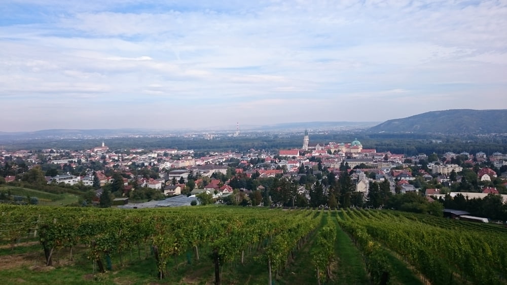
  • ab dem Friedhof ein langer steiler Anstieg
  • danach nur noch leichte An- und Abstiege Richtung Windischhütte
  • ab der Windischhütte hauptsächlich bergab
  •  über Weidlingbach retour


Carte du tour et altitude

  • Open Street Map
  • Google
Minimum height 163 m Maximum height 494 m Vue de détail

More about the tour author

lostavar
Member since 2015

Send private message

Commentaires

Tracks GPS

Trackpoints
  • GPX / Garmin Map Source (gpx) download
  • TCX / Garmin Training Center® (tcx) download
  • CRS / Garmin Training Center® (crs) download
  • Google Earth (kml) download
  • G7ToWin (g7t) download
  • TTQV (trk) download
  • Overlay (ovl) download
  • Fugawi (txt) download
  • Kompass (DAV) Track (tk) download
  • Feuille de tours (pdf) download
  • Original file of the author (gpx) download

More about the tour author

lostavar
Member since 2015

Send private message
Share track
Add to my favorites
Remove from my favorites
Edit tags
My score
Rate
Tour: Babenberger Runde
Cat.: Mountainbike
Longueur: 21,2 km
Evaluated on:
Durée:
Day(s)
Hour(s)
Minute(s)
Evaluation: Paysage Aspect amusement Condition Technique