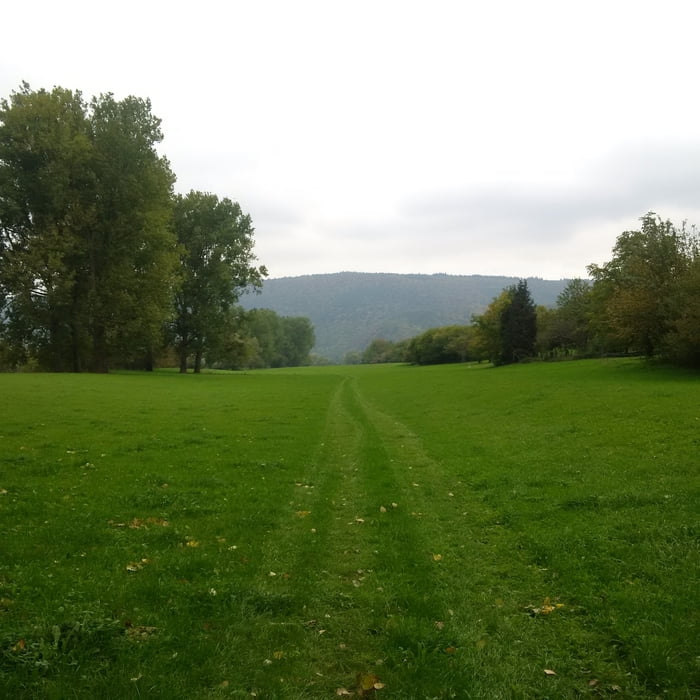
Von Collenberg an den Mainauen entlang bis zum Fuß vom Kloster Engelberg. Dann auf den Eselsweg mit ordentlichen Steigungen und schönen Trails. Zum Schluss ins Fechenbachtal und wieder zurück.
Further information at
https://de.wikipedia.org/wiki/EselswegGalerie du tour
Carte du tour et altitude
Minimum height 97 m
Maximum height 504 m
Commentaires

Wanderparkplatz hinter dem Schützenhaus in Fechenbach.
Tracks GPS
Trackpoints-
GPX / Garmin Map Source (gpx) download
-
TCX / Garmin Training Center® (tcx) download
-
CRS / Garmin Training Center® (crs) download
-
Google Earth (kml) download
-
G7ToWin (g7t) download
-
TTQV (trk) download
-
Overlay (ovl) download
-
Fugawi (txt) download
-
Kompass (DAV) Track (tk) download
-
Feuille de tours (pdf) download
-
Original file of the author (gpx) download
Add to my favorites
Remove from my favorites
Edit tags
Open track
My score
Rate


