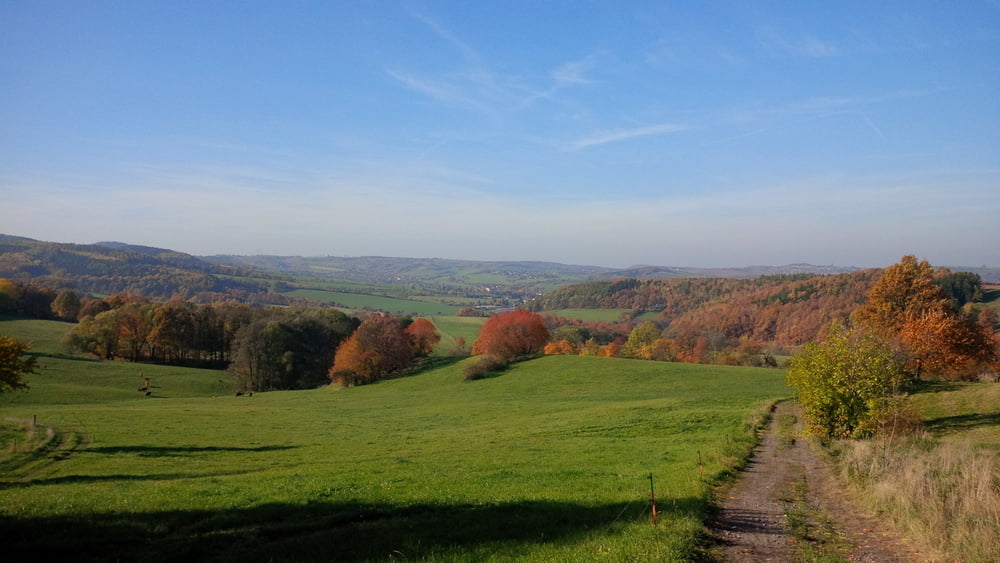
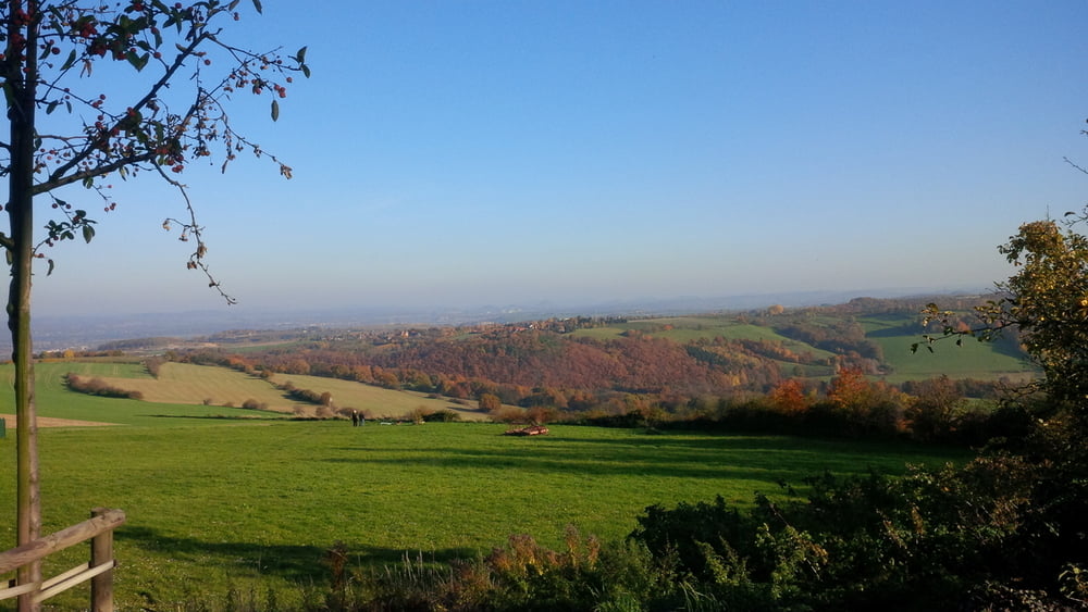
ich wollte eine samstagstrainingsrunde fahren und war überrascht, was das für tolle wege sind und welche landschaft jetzt im herbst auf einen wartet. viel spass bei der wiederholung.
wer mehr zeit hat, kann noch über den willisch fahren, was die runde perfekt machen würde.
Galerie du tour
Carte du tour et altitude
Minimum height 81 m
Maximum height 375 m
Commentaires

Tracks GPS
Trackpoints-
GPX / Garmin Map Source (gpx) download
-
TCX / Garmin Training Center® (tcx) download
-
CRS / Garmin Training Center® (crs) download
-
Google Earth (kml) download
-
G7ToWin (g7t) download
-
TTQV (trk) download
-
Overlay (ovl) download
-
Fugawi (txt) download
-
Kompass (DAV) Track (tk) download
-
Feuille de tours (pdf) download
-
Original file of the author (gpx) download
Add to my favorites
Remove from my favorites
Edit tags
Open track
My score
Rate


