


Bei üblem Hochnebel startete ich in Homburg-Schwarzenbach. Ich rollte nach Schwarzenacker hinunter das gerade einmal durch eine Ortstafel von Schwarzenbach getrennt ist.
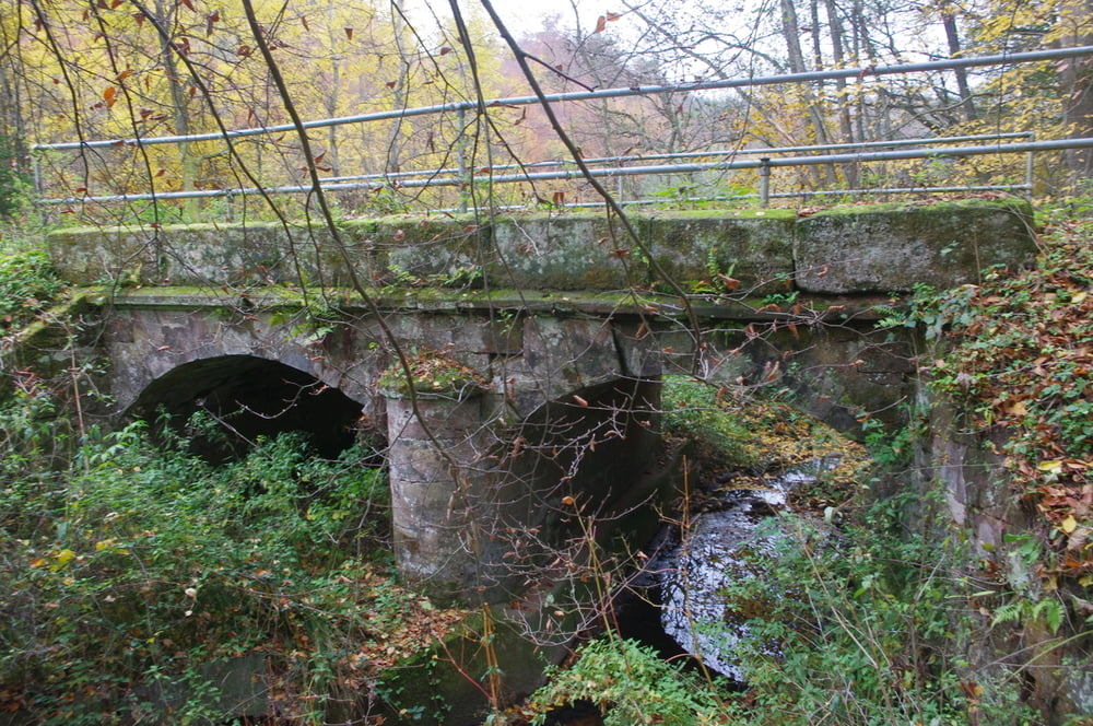
Ich bog in das Lambsbachtal ab und fuhr dieses schöne Tal langsam hoch. Dabei passierte ich den Audenkeller Hof und die Emilienruhe bevor ich Kirrberg durchquerte.
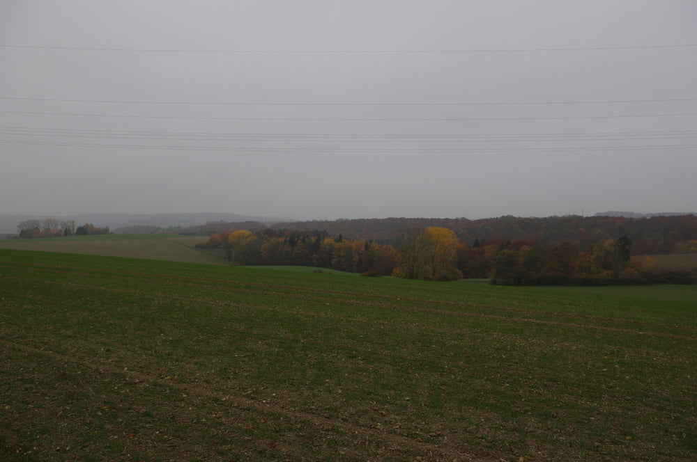
Ich verfolgte das Tal weiter bis nach Bechhofen von wo ich den Talschluss auf einem schmalen Asphaltsträßchen in Angriff nahm.
Oben angekommen passierte ich den netten Modellflugplatz und fuhr dann nach Rosenkopf.
Von hier fuhr ich auf der L465 in südwestlicher Richtung durch Käshofen und Mörsbach.
Leider erreichte ich die Ski- und Wanderhütte von Kirrberg zu früh. Sie hatte noch geschlossen.
Ich fuhr dann grob in gleicher Richtung weiter und erreichte Einöd.
Ab hier war es nur noch ein kurzer Weg zurück. Dabei stoppte ich noch beim Getränkehandel um mich zu belohnen.
Ich bog in das Lambsbachtal ab und fuhr dieses schöne Tal langsam hoch. Dabei passierte ich den Audenkeller Hof und die Emilienruhe bevor ich Kirrberg durchquerte.
Ich verfolgte das Tal weiter bis nach Bechhofen von wo ich den Talschluss auf einem schmalen Asphaltsträßchen in Angriff nahm.
Oben angekommen passierte ich den netten Modellflugplatz und fuhr dann nach Rosenkopf.
Von hier fuhr ich auf der L465 in südwestlicher Richtung durch Käshofen und Mörsbach.
Leider erreichte ich die Ski- und Wanderhütte von Kirrberg zu früh. Sie hatte noch geschlossen.
Ich fuhr dann grob in gleicher Richtung weiter und erreichte Einöd.
Ab hier war es nur noch ein kurzer Weg zurück. Dabei stoppte ich noch beim Getränkehandel um mich zu belohnen.
Further information at
https://de.wikipedia.org/wiki/Sickinger_H%C3%B6heGalerie du tour


Carte du tour et altitude
Minimum height 224 m
Maximum height 409 m
More about the tour author
|
|
Pheinz |
Commentaires

Start und Ziel in Homburg-Schwarzenbach.
Tracks GPS
Trackpoints-
GPX / Garmin Map Source (gpx) download
-
TCX / Garmin Training Center® (tcx) download
-
CRS / Garmin Training Center® (crs) download
-
Google Earth (kml) download
-
G7ToWin (g7t) download
-
TTQV (trk) download
-
Overlay (ovl) download
-
Fugawi (txt) download
-
Kompass (DAV) Track (tk) download
-
Feuille de tours (pdf) download
-
Original file of the author (gpx) download
More about the tour author
|
|
Pheinz |
Add to my favorites
Remove from my favorites
Edit tags
Open track
My score
Rate