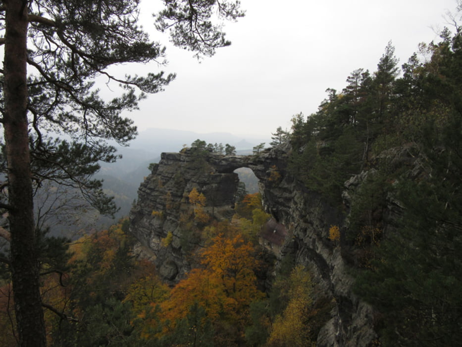
Von Hrensko zum Prebischtor, weiter nach Mezni Louka. Auch die beiden Folgetage grau in grau - nach Jetrichov und dort in der Umgebung. Dann in strahlendem Sonnenschein weitgehend dem Europäischen Fernwanderweg E3 folgend nach Jiretin. Die Abschlußetappe durchs Zittauer Gebirge - Lausche, Oybin.
Galerie du tour
Carte du tour et altitude
Minimum height 232 m
Maximum height 847 m
Commentaires

mit Schiff oder Bus bis Hrensko oder mit der Bahn bis Schöna
ab Oybin mit Bus oder Schmalspurbahn bis Zittau, von dort mit der Bahn nach Dresden
Tracks GPS
Trackpoints-
GPX / Garmin Map Source (gpx) download
-
TCX / Garmin Training Center® (tcx) download
-
CRS / Garmin Training Center® (crs) download
-
Google Earth (kml) download
-
G7ToWin (g7t) download
-
TTQV (trk) download
-
Overlay (ovl) download
-
Fugawi (txt) download
-
Kompass (DAV) Track (tk) download
-
Feuille de tours (pdf) download
-
Original file of the author (gpx) download
Add to my favorites
Remove from my favorites
Edit tags
Open track
My score
Rate


