
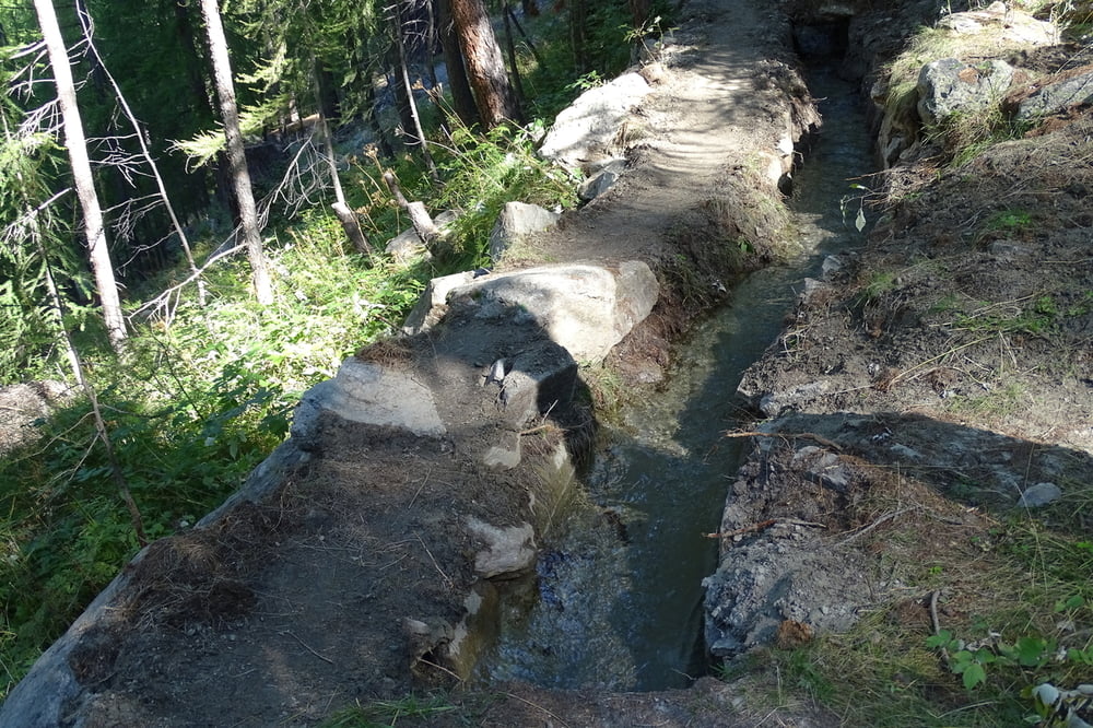

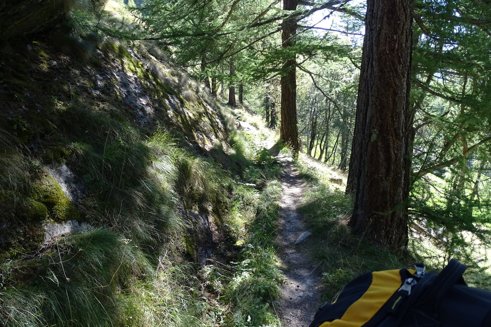
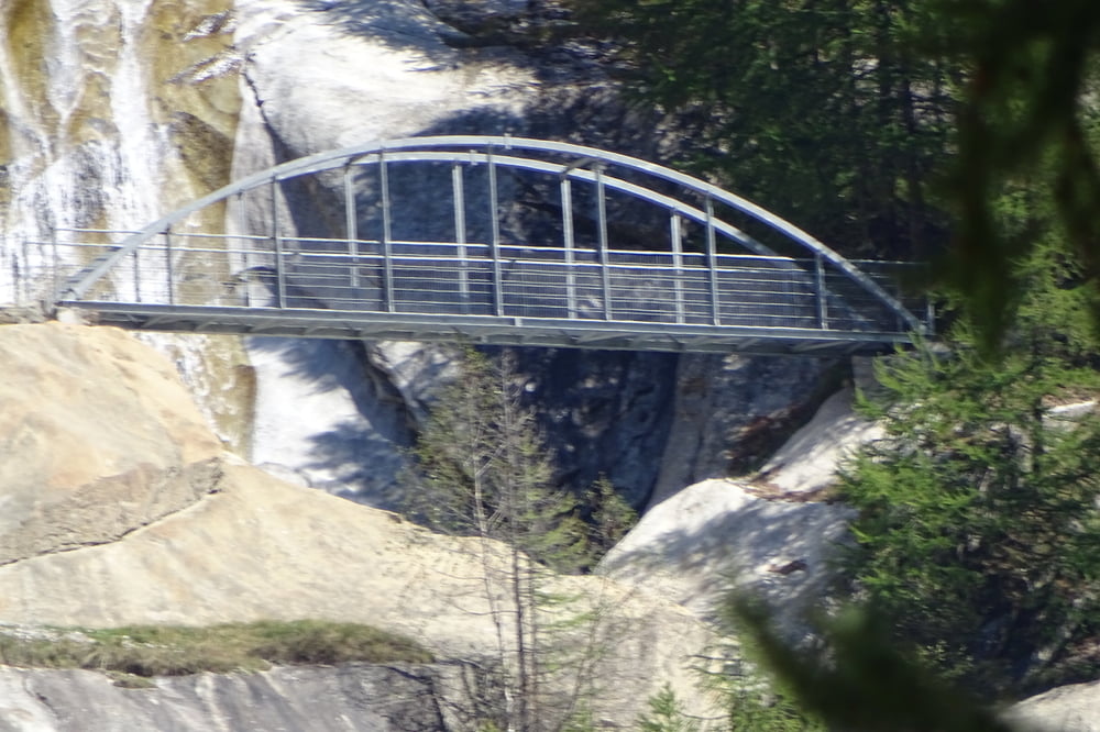
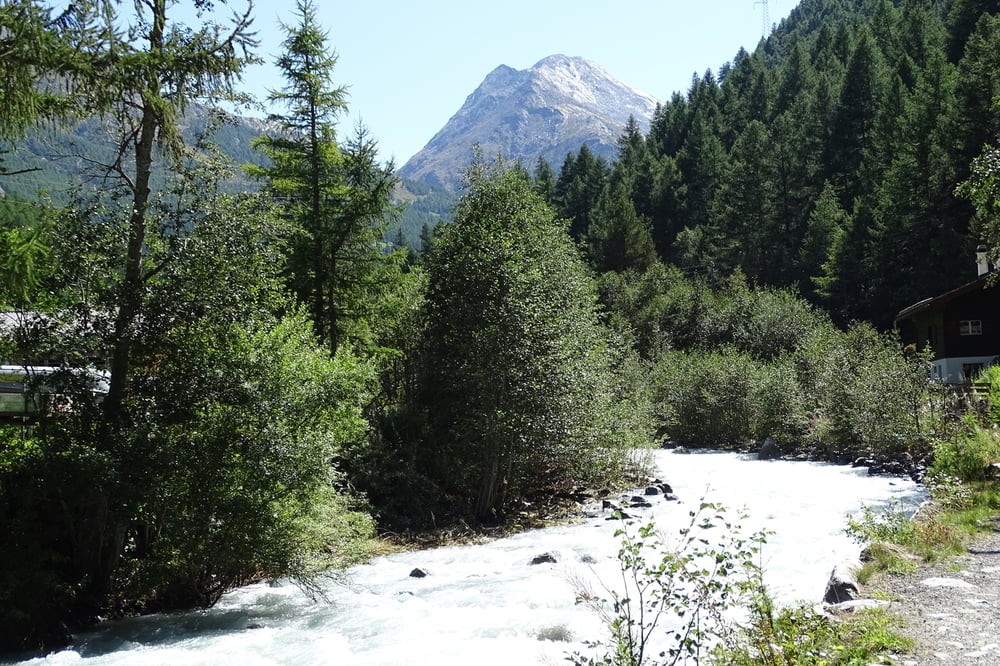
Aus einem Suonenweg wurde ein Rundweg. Der erst Teil würde ich als Bergweg bezeichnen. Es ist Schwindelfreiheit, Trittscherheit und geeignetes Schuhwerk erforderlich. Für Kinder nicht geeignet. Es ist einer der schönsten Wanderungen, die ich in der Schweiz gegangen bin. Start ist in Saas Almagell unterhalb des Skilifts. Man kann sich nicht verlaufen. Mit 312 Höhenmeter ist es nicht sehr anstrengend. Nach dem Abstieg geht es auf der anderen Seite der Saaser Vispa bequem zum Augangspunkt.
Galerie du tour

Carte du tour et altitude
Minimum height 1548 m
Maximum height 1772 m
More about the tour author

|
civap |
Commentaires

Ins Saas Tal fahren und am Ende von Saas Almagell den Parkplatz an der Vispa benutzen
Tracks GPS
Trackpoints-
GPX / Garmin Map Source (gpx) download
-
TCX / Garmin Training Center® (tcx) download
-
CRS / Garmin Training Center® (crs) download
-
Google Earth (kml) download
-
G7ToWin (g7t) download
-
TTQV (trk) download
-
Overlay (ovl) download
-
Fugawi (txt) download
-
Kompass (DAV) Track (tk) download
-
Feuille de tours (pdf) download
-
Original file of the author (gpx) download
More about the tour author
|
|
civap |
Add to my favorites
Remove from my favorites
Edit tags
Open track
My score
Rate