


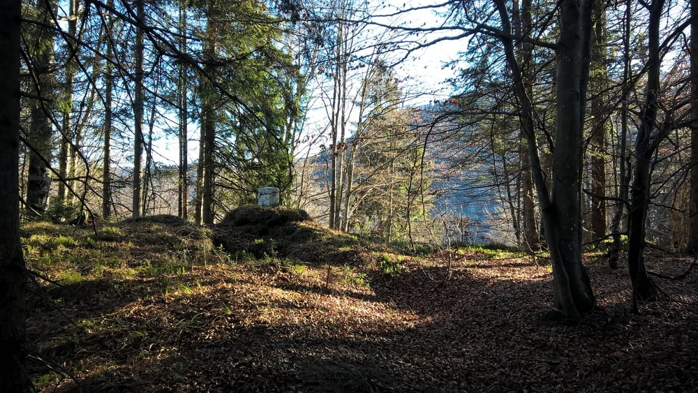
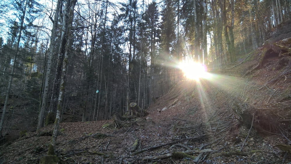
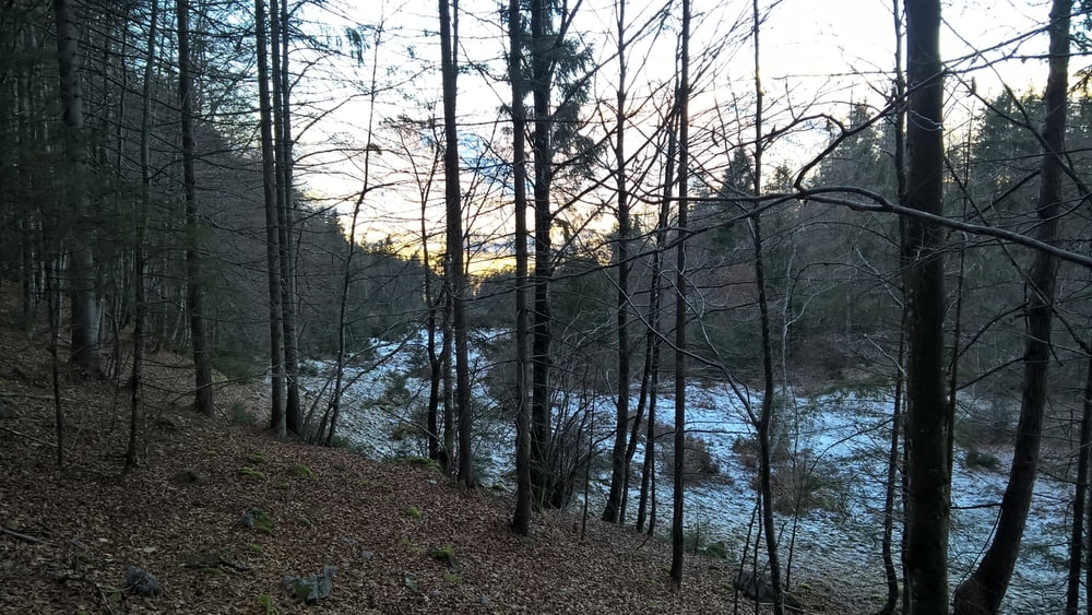
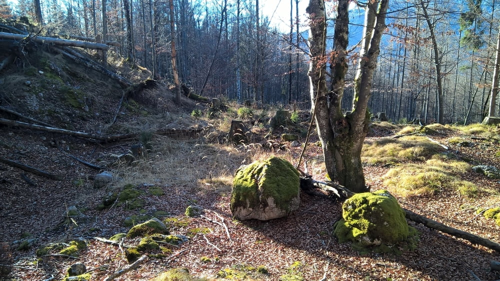
Start im Ortsteil Loferberg. Oberhalb des Hagertals Richtung Süden (Weissenstein, Eggenalm). Bei der Schranke Tafelbuch links abbiegen Richtung Bruthennkopf; am Dipauli-Kreuz links abbiegen. Dem Weg folgen für ca. 600 m, dann linke Gabelung wählen. Wenn der Weg aufhört geht es in nordwestlicher Richtung durch den Wald. ACHTUNG Stacheldrahtzäune! Direkt ist die erste Lichtung erreicht, beim Jägerstand beginnt der Pfad ins Tal.
Galerie du tour
Carte du tour et altitude
Minimum height 694 m
Maximum height 974 m
More about the tour author

|
bergodertal |
Commentaires

Kössen Ortsteil Loferberg
Tracks GPS
Trackpoints-
GPX / Garmin Map Source (gpx) download
-
TCX / Garmin Training Center® (tcx) download
-
CRS / Garmin Training Center® (crs) download
-
Google Earth (kml) download
-
G7ToWin (g7t) download
-
TTQV (trk) download
-
Overlay (ovl) download
-
Fugawi (txt) download
-
Kompass (DAV) Track (tk) download
-
Feuille de tours (pdf) download
-
Original file of the author (gpx) download
More about the tour author
|
|
bergodertal |
Add to my favorites
Remove from my favorites
Edit tags
Open track
My score
Rate