


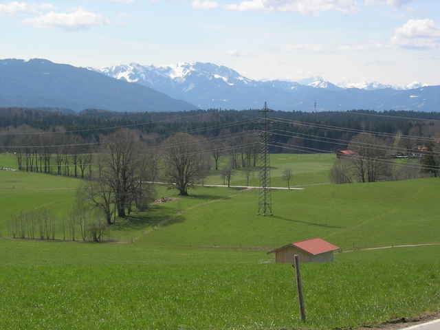
Die Wege sind zum größten teil geteert oder gute Waldwege. Mit etwas breiteren Reifen auf jeden Fall gut fahrbar.
Es geht vom Münchner Osten nach Aying, Kreuzstraße, Valley. Dann zur Mangfall auf den M-Wasser Radweg. An der Gotzinger Trommel rund um den Taubenberg abbiegen nach Warngau. Dabei sind ca. 150 Höhenmeter zu überwinden.
In Holzkirchen in die Eisdiele und dann über Otterfing, Brunntal, Grasbrunn eine sehr schnelle Strecke wieder nach Hause.
Further information at
http://www.miesbach.deGalerie du tour
Carte du tour et altitude
Minimum height 531 m
Maximum height 792 m
More about the tour author

|
smartandem |
Commentaires

Mit der S-Bahn nach Haar oder nach Höhenkirchen-Siegertsbrunn.
Mit dem Auto von der A99 in Haar oder Siegertsbrunn rausfahren und im Ort parken. Stellplätze gibts da genug und kostenlos.
Tracks GPS
Trackpoints-
GPX / Garmin Map Source (gpx) download
-
TCX / Garmin Training Center® (tcx) download
-
CRS / Garmin Training Center® (crs) download
-
Google Earth (kml) download
-
G7ToWin (g7t) download
-
TTQV (trk) download
-
Overlay (ovl) download
-
Fugawi (txt) download
-
Kompass (DAV) Track (tk) download
-
Feuille de tours (pdf) download
-
Original file of the author (g7t) download
More about the tour author
|
|
smartandem |
Add to my favorites
Remove from my favorites
Edit tags
Open track
My score
Rate