Login

Login oublié ?

Cookies have to be accepted!
Your browser's cookie functionality is disabled. Please enable this functionality.

Not a member yet?

Register now
Login

Available for registred users only

Log in to use this feature.

Login oublié ?

Cookies have to be accepted!
Your browser's cookie functionality is disabled. Please enable this functionality.

Not a member yet?

Register now
Filter
Catégories
Advanced filters
  • Longueur (km)
  • Altimètre
Enregistrer le filtre Reset filter

TrackRank

QRCode

Technical data

Longueur9,0 km Altimètre376 m Way down658 m Durée02:00 h:m Date06.01.2016
Evaluations Author Paysage Aspect amusement Condition Technique

Statistiques

239 Vues Evaluations 20 Téléchargements Moyenne
Rate
  • Feuille de tours
  • Arrivée
  • Téléchargements

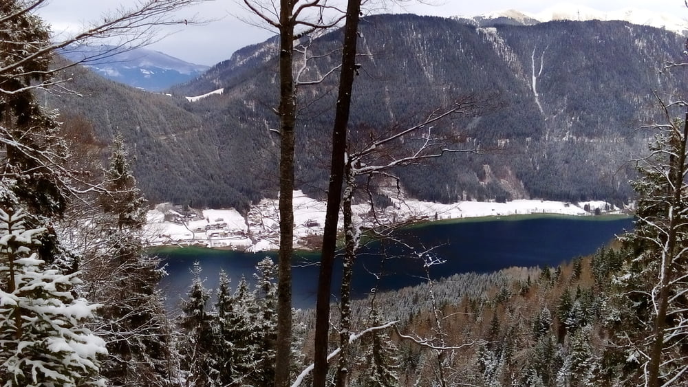
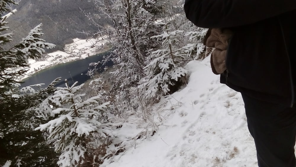
Wunderbare Winterwanderung zur bewirtschafteten Naggler Alm, die ausgezeichnete Kaspressknödel zu bieten haben.


Galerie du tour

Carte du tour et altitude

  • Open Street Map
  • Google
Minimum height 946 m Maximum height 1339 m Vue de détail

More about the tour author

mitter
Member since 2008

Send private message

Commentaires

Start in Techendorf am Parkplatz der Weißensee Bergbahn (Sessellift). Parkgebühr 6€.


Tracks GPS

Trackpoints
  • GPX / Garmin Map Source (gpx) download
  • TCX / Garmin Training Center® (tcx) download
  • CRS / Garmin Training Center® (crs) download
  • Google Earth (kml) download
  • G7ToWin (g7t) download
  • TTQV (trk) download
  • Overlay (ovl) download
  • Fugawi (txt) download
  • Kompass (DAV) Track (tk) download
  • Feuille de tours (pdf) download
  • Original file of the author (gpx) download

More about the tour author

mitter
Member since 2008

Send private message
Share track
Add to my favorites
Remove from my favorites
Edit tags
My score
Rate
Tour: Naggler Alm 160105
Cat.: Randonnées
Longueur: 9,0 km
Evaluated on:
Durée:
Day(s)
Hour(s)
Minute(s)
Evaluation: Paysage Aspect amusement Condition Technique