


Ich wanderte von der Oberböbinger Michaelskirche aus dem Ort und nahm den unteren Weg durch die Ungerhalde zum Bruckholz. Seit die Flurbereinigung den Wegebau vorangetrieben hat kann auch bei Nacht der Wald gut durchqert werden.
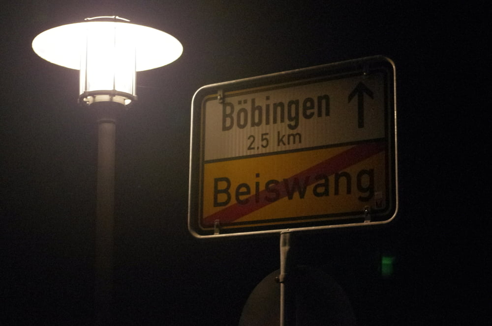
Am südlichen Waldrand wandte ich mich nach Westen und erreichte das nächtliche Beiswang . An diesem Tag war das Gasthaus Rose geschlossen, so dass ich auf der nun neu asphaltierten Straße am Windhof vorbei nach Unterböbingen gelangte.
Am REWE-Markt vorbei das Klotzbachtal entlang erreichte ich den Ausgangspunkt.
Further information at
http://www.boebingen.de/index.php?id=154Galerie du tour
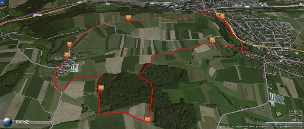
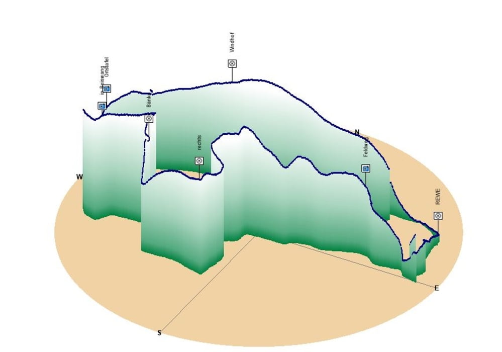
Carte du tour et altitude
Minimum height 394 m
Maximum height 438 m
More about the tour author
|
|
Pheinz |
Commentaires

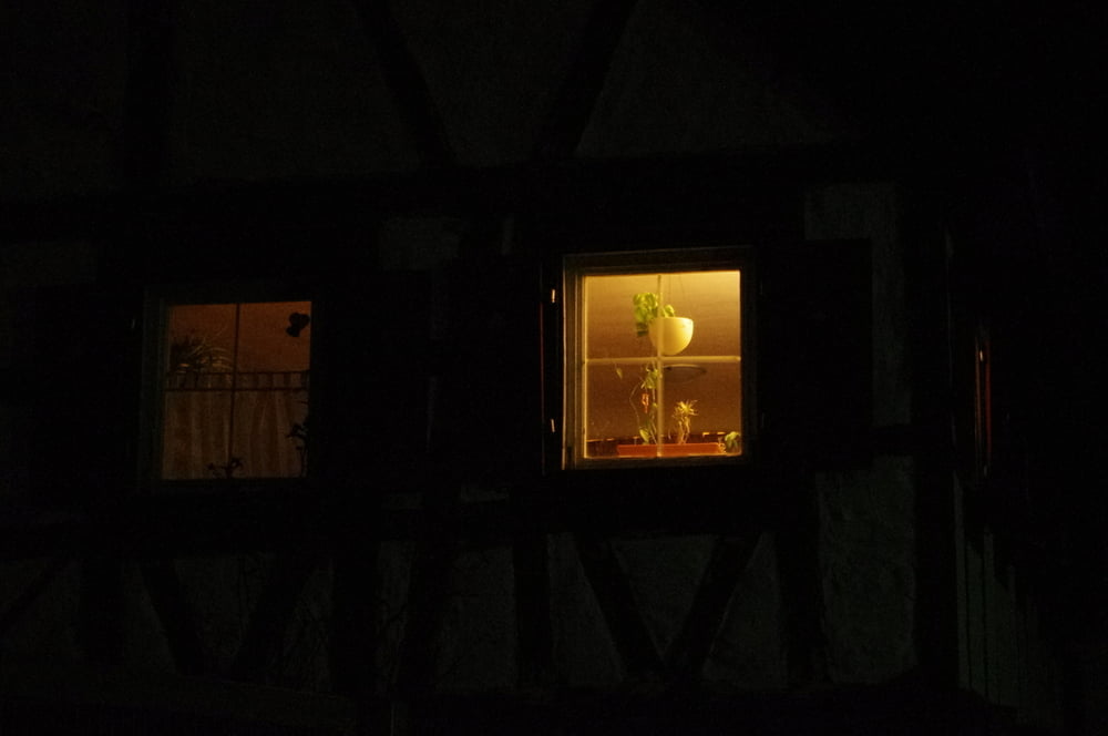
In Oberböbingen an der Michaelskirche geht es los.
Tracks GPS
Trackpoints-
GPX / Garmin Map Source (gpx) download
-
TCX / Garmin Training Center® (tcx) download
-
CRS / Garmin Training Center® (crs) download
-
Google Earth (kml) download
-
G7ToWin (g7t) download
-
TTQV (trk) download
-
Overlay (ovl) download
-
Fugawi (txt) download
-
Kompass (DAV) Track (tk) download
-
Feuille de tours (pdf) download
-
Original file of the author (gpx) download
More about the tour author
|
|
Pheinz |
Add to my favorites
Remove from my favorites
Edit tags
Open track
My score
Rate