


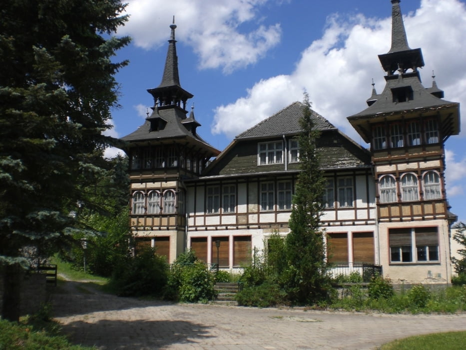
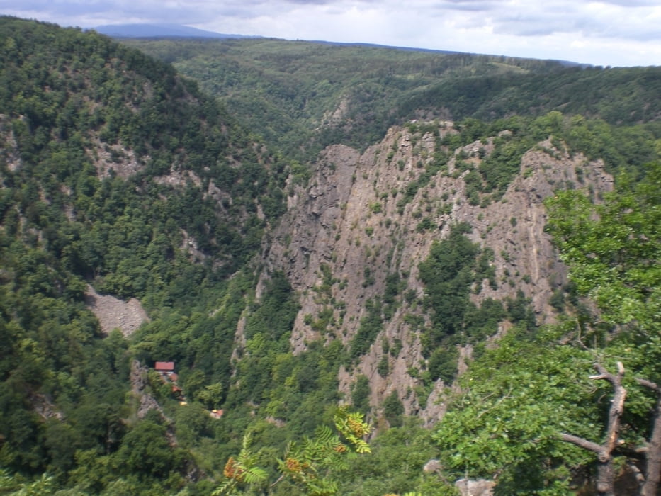
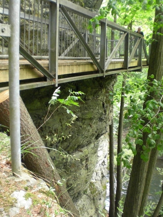
von Treseburg im Bodetal wurde über Allrode nach Güntersberge ins Selketal gewandert. Ab hier folgten wir dem Selketalstieg bis Gernrode. Von dort wurde Kurs auf den Hexentanzplatz genommen, um schließlich mit der Bergbahn wieder bei Thale das Bodetal zu erreichen, das landschaftlich sehr reizvoll den Höhepunkt der Tour auf dem Weg nach Treseburg zurück darstellt. Die Burgruine Anhalt und die Burg Falkenstein waren Abstecher auf unserer Tour.
Further information at
http://a-b-s.bplaced.net/Galerie du tour

Carte du tour et altitude
Minimum height 185 m
Maximum height 514 m
More about the tour author

|
AndreasBeckerSalzwed |
Commentaires

Thale ist mit dem Zug zu erreichen, von dort fährt ein Bus nach Treseburg. Wir reisten mit dem Auto an und konnten gegen eine kleine Gebühr auf dem Parkplatz die 4 Tage parken.
Tracks GPS
Trackpoints-
GPX / Garmin Map Source (gpx) download
-
TCX / Garmin Training Center® (tcx) download
-
CRS / Garmin Training Center® (crs) download
-
Google Earth (kml) download
-
G7ToWin (g7t) download
-
TTQV (trk) download
-
Overlay (ovl) download
-
Fugawi (txt) download
-
Kompass (DAV) Track (tk) download
-
Feuille de tours (pdf) download
-
Original file of the author (gpx) download
More about the tour author
|
|
AndreasBeckerSalzwed |
Add to my favorites
Remove from my favorites
Edit tags
Open track
My score
Rate