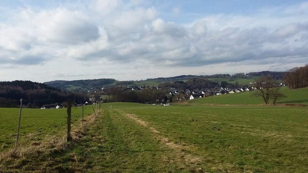
Schöne Runde durch das Homburger Ländchen, die v.a. über Wald- und Feldwege oder kaum befahrene Asphaltwege führt. Genau richtig um die müden Knochen nach dem Winter ein bisschen zu bewegen.
Man streift die Orte Winterborn, Grötzenberg und Birkenbach als mögliche Ausgangspunkte. Schwierigkeiten gibt es keine, stellenweise ist es Anfang Februar im Wald oder auf den Wiesen natürlich noch etwas matschig.
Galerie du tour
Carte du tour et altitude
Minimum height 224 m
Maximum height 333 m
Commentaires

Tracks GPS
Trackpoints-
GPX / Garmin Map Source (gpx) download
-
TCX / Garmin Training Center® (tcx) download
-
CRS / Garmin Training Center® (crs) download
-
Google Earth (kml) download
-
G7ToWin (g7t) download
-
TTQV (trk) download
-
Overlay (ovl) download
-
Fugawi (txt) download
-
Kompass (DAV) Track (tk) download
-
Feuille de tours (pdf) download
-
Original file of the author (gpx) download
Add to my favorites
Remove from my favorites
Edit tags
Open track
My score
Rate


