Login

Login oublié ?

Cookies have to be accepted!
Your browser's cookie functionality is disabled. Please enable this functionality.

Not a member yet?

Register now
Login

Available for registred users only

Log in to use this feature.

Login oublié ?

Cookies have to be accepted!
Your browser's cookie functionality is disabled. Please enable this functionality.

Not a member yet?

Register now
Filter
Catégories
Advanced filters
  • Longueur (km)
  • Altimètre
Enregistrer le filtre Reset filter

TrackRank

QRCode

Technical data

Longueur17,2 km Altimètre360 m Way down360 m Durée01:20 h:m Date27.02.2016
Evaluations Author Paysage Aspect amusement Condition Technique

Statistiques

185 Vues Evaluations 12 Téléchargements Moyenne
Rate
  • Feuille de tours
  • Arrivée
  • Téléchargements
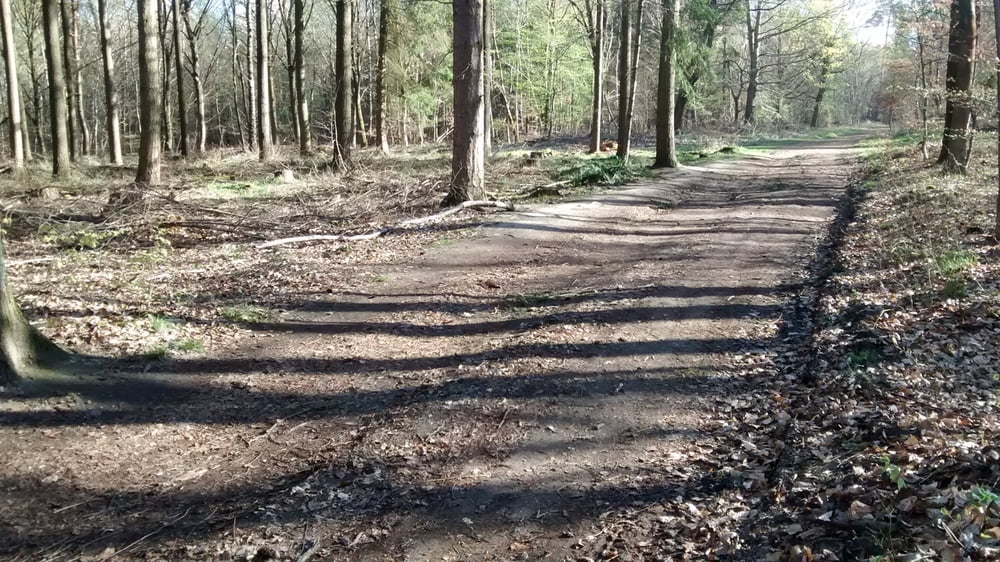
Einfache Tour über gut ausgebaute Wege in abwechslungsreichen Waldgebieten.

Carte du tour et altitude

  • Open Street Map
  • Google
Minimum height 249 m Maximum height 348 m Vue de détail

More about the tour author

Veloce
Member since 2016

Send private message

Commentaires

A 620, Ausfahrt Wadgassen, vor dem Verkehrskreisel rechts in die Glockenstraße einbiegen.

Nach 800m am Ende der Straße ist der Waldrand erreicht = Start.


Tracks GPS

Trackpoints
  • GPX / Garmin Map Source (gpx) download
  • TCX / Garmin Training Center® (tcx) download
  • CRS / Garmin Training Center® (crs) download
  • Google Earth (kml) download
  • G7ToWin (g7t) download
  • TTQV (trk) download
  • Overlay (ovl) download
  • Fugawi (txt) download
  • Kompass (DAV) Track (tk) download
  • Feuille de tours (pdf) download
  • Original file of the author (gpx) download

More about the tour author

Veloce
Member since 2016

Send private message
Share track
Add to my favorites
Remove from my favorites
Edit tags
My score
Rate
Tour: Wadgasser Wald
Cat.: Mountainbike
Longueur: 17,2 km
Evaluated on:
Durée:
Day(s)
Hour(s)
Minute(s)
Evaluation: Paysage Aspect amusement Condition Technique