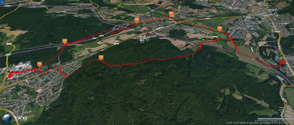
Zuerst von Homburg Schwarzenbach durch das Blies- und Taubental nach Kirkel Neuhäusel . Dann hoch zum Friedhof und auf dem matschigen Pfad runter zur Autobahn. Diese unterqueren und auf dem Waldweg nach Osten, über die Autobahnbrücke und weiter durch die Altstadt von Kirkel.
Auf dem Radweg im Bliestal zurück zum Ausgangspunkt. Dabei wusch ich noch einmal mein Rad im Hochwasser der Blies.
Further information at
https://de.wikipedia.org/wiki/Saarpfalz-KreisGalerie du tour
Carte du tour et altitude
Minimum height 225 m
Maximum height 325 m
Commentaires

Start und Ziel in Homburg Schwarzenbach.
Tracks GPS
Trackpoints-
GPX / Garmin Map Source (gpx) download
-
TCX / Garmin Training Center® (tcx) download
-
CRS / Garmin Training Center® (crs) download
-
Google Earth (kml) download
-
G7ToWin (g7t) download
-
TTQV (trk) download
-
Overlay (ovl) download
-
Fugawi (txt) download
-
Kompass (DAV) Track (tk) download
-
Feuille de tours (pdf) download
-
Original file of the author (gpx) download
Add to my favorites
Remove from my favorites
Edit tags
Open track
My score
Rate


