
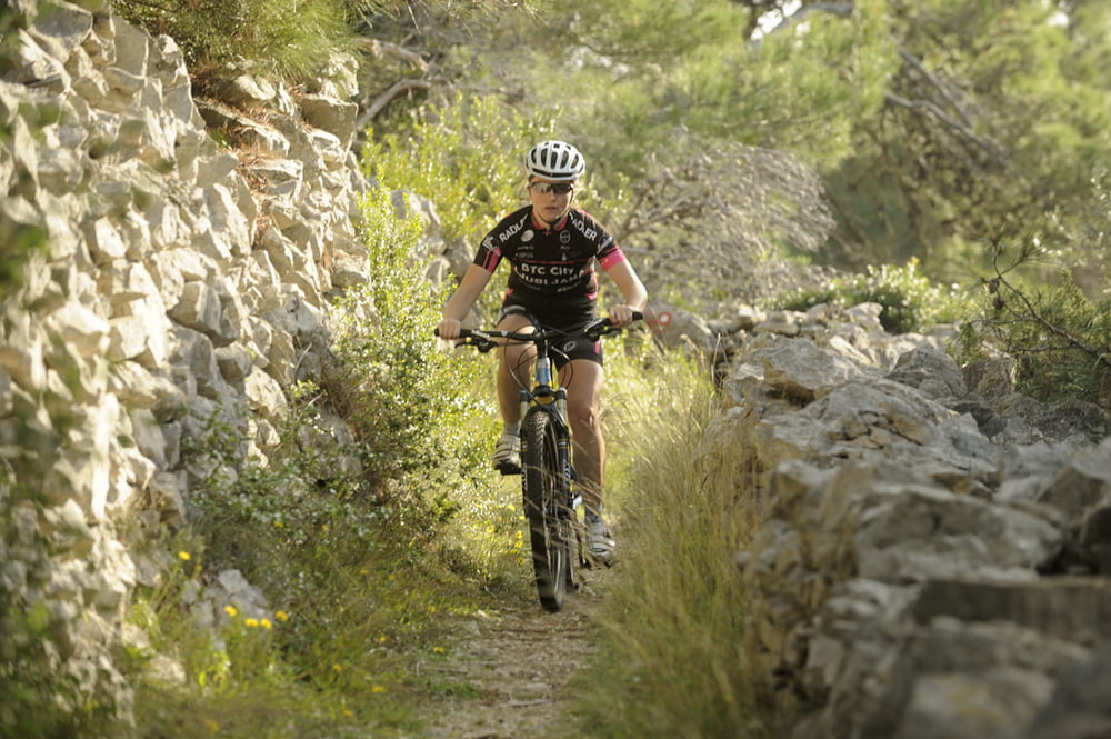

Ova atraktivna MTB ruta zamišljena je u vidu jednodnevnog izleta. Upoznavanje Jadranske obale, uspon na obližnje gorje te pogled na Makarsku rivijeru i njezinu okolicu samo su neke od prednosti ove vožnje. Ruta je namijenjena fizički dobro pri-premljenim vozačima koji će kroz vožnju uživati u promjenama terena umjerene tehničke zahtjevnosti.
Napomena: Start i cilj rute su na kopnu ( Makarska) te je za realizaciju vožnje potrebno organizirati prijevoz i povratak.
This attractive MTB route is planned as a one-day trip. Exploring the Adriatic coast, climbing nearby mountains and a panoramic view over Makarska Riviera and its surroundings are only few advantages of this trail. The route is intended for riders in good physical condition, who will enjoy terrain alterations of moderate technical difficulty during the ride.
Note: The start and finish of the route are on the mainland and in order to finish the route it is necessary to organize transportation and the ride home.
Galerie du tour


Carte du tour et altitude
Minimum height -4 m
Maximum height 534 m
More about the tour author
|
|
AdriaBikeHotels |
Commentaires

Tracks GPS
Trackpoints-
GPX / Garmin Map Source (gpx) download
-
TCX / Garmin Training Center® (tcx) download
-
CRS / Garmin Training Center® (crs) download
-
Google Earth (kml) download
-
G7ToWin (g7t) download
-
TTQV (trk) download
-
Overlay (ovl) download
-
Fugawi (txt) download
-
Kompass (DAV) Track (tk) download
-
Feuille de tours (pdf) download
-
Original file of the author (gpx) download
More about the tour author
|
|
AdriaBikeHotels |
Add to my favorites
Remove from my favorites
Edit tags
Open track
My score
Rate