Login

Login oublié ?

Cookies have to be accepted!
Your browser's cookie functionality is disabled. Please enable this functionality.

Not a member yet?

Register now
Login

Available for registred users only

Log in to use this feature.

Login oublié ?

Cookies have to be accepted!
Your browser's cookie functionality is disabled. Please enable this functionality.

Not a member yet?

Register now
Filter
Catégories
Advanced filters
  • Longueur (km)
  • Altimètre
Enregistrer le filtre Reset filter

TrackRank

QRCode

Technical data

Longueur5,5 km Altimètre150 m Way down150 m Durée01:30 h:m Date17.03.2016
Evaluations Author Paysage Aspect amusement Condition Technique

Statistiques

710 Vues Evaluations 33 Téléchargements Moyenne
Rate
  • Feuille de tours
  • Arrivée
  • Téléchargements

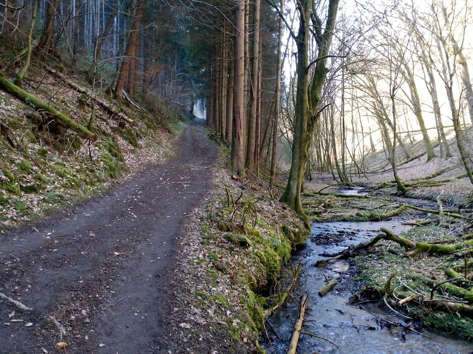
Rundweg :Hinweg führt über die Brücke,Rückweg durchs Tal

Name: Hängeseilbrücke "Geierlay"
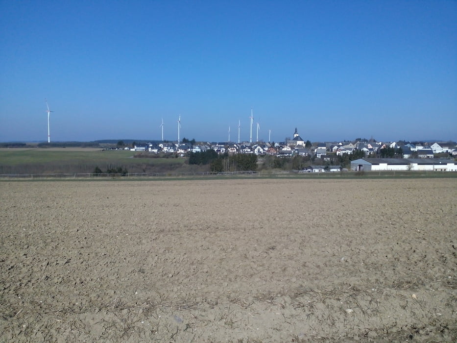
Lage: mitten im Hunsrück - über dem Mörsdorfer Bachtal zwischen den Gemeinden Sosberg und Mörsdorf

Länge: 360 Meter - Höhe: 100 Meter

Further information at

http://www.geierlay.de/

Galerie du tour

Carte du tour et altitude

  • Open Street Map
  • Google
Minimum height 226 m Maximum height 344 m Vue de détail

More about the tour author

lahnwinni
Member since 2013

Send private message

Commentaires

Startpunkt: Besucherzentrum Geierlay (Navigation: Kastellauner Straße 23, 56290 Mörsdorf)

Parkgebühr 2 €

Tracks GPS

Trackpoints
  • GPX / Garmin Map Source (gpx) download
  • TCX / Garmin Training Center® (tcx) download
  • CRS / Garmin Training Center® (crs) download
  • Google Earth (kml) download
  • G7ToWin (g7t) download
  • TTQV (trk) download
  • Overlay (ovl) download
  • Fugawi (txt) download
  • Kompass (DAV) Track (tk) download
  • Feuille de tours (pdf) download
  • Original file of the author (gpx) download

More about the tour author

lahnwinni
Member since 2013

Send private message
Share track
Add to my favorites
Remove from my favorites
Edit tags
My score
Rate
Tour: Hängebrücke zur Geierlay,Mörsdorf
Cat.: Randonnées
Longueur: 5,5 km
Evaluated on:
Durée:
Day(s)
Hour(s)
Minute(s)
Evaluation: Paysage Aspect amusement Condition Technique