


Kupferhammer, Dillweißenstein, Ri. Büchenbronn, Ri. Engelsbrand, Salmbach, Langenbrand, Wildgehege bei Schömberg über Charlottenhöhe- Calmbach, auf dem Mittelweg zurück über Langenbrand, Büchenbronner- Aussichtsturm, Bornetweg, Rodplatte, Würmtalgaststätte.
Galerie du tour
Carte du tour et altitude
Minimum height 213 m
Maximum height 692 m
More about the tour author
|
|
siggi.k. |
Commentaires
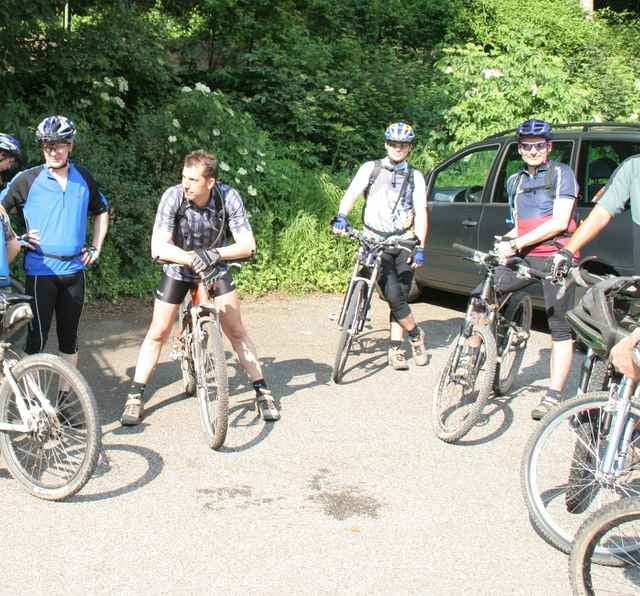
Start an der Würmtalgaststätte
Tracks GPS
Trackpoints-
GPX / Garmin Map Source (gpx) download
-
TCX / Garmin Training Center® (tcx) download
-
CRS / Garmin Training Center® (crs) download
-
Google Earth (kml) download
-
G7ToWin (g7t) download
-
TTQV (trk) download
-
Overlay (ovl) download
-
Fugawi (txt) download
-
Kompass (DAV) Track (tk) download
-
Feuille de tours (pdf) download
-
Original file of the author (g7t) download
More about the tour author
|
|
siggi.k. |
Add to my favorites
Remove from my favorites
Edit tags
Open track
My score
Rate
Nach Schöberg aber aufpassen.
Wo sich Hin-und Rückweg kreuzen-rechtshalten- sonst kann man den wunderschönen Single-Trail nach Calmbach hinab- dann hinauf über weite Strecken schieben. Ein erklärender Way-Point wäre an so unübersichtlichen Stellen sehr hilfreich