Login

Login oublié ?

Cookies have to be accepted!
Your browser's cookie functionality is disabled. Please enable this functionality.

Not a member yet?

Register now
Login

Available for registred users only

Log in to use this feature.

Login oublié ?

Cookies have to be accepted!
Your browser's cookie functionality is disabled. Please enable this functionality.

Not a member yet?

Register now
Filter
Catégories
Advanced filters
  • Longueur (km)
  • Altimètre
Enregistrer le filtre Reset filter

TrackRank

QRCode

Technical data

Longueur38,8 km Altimètre837 m Way down838 m Durée02:45 h:m Date28.03.2016
Evaluations Author Paysage Aspect amusement Condition Technique

Statistiques

160 Vues Evaluations 17 Téléchargements Moyenne
Rate
  • Feuille de tours
  • Arrivée
  • Téléchargements

von strehlen über mockritz nach kaitz, bannewitz poisenwald zum lerchenberg. über quohren nach kreischa, seida, bärenklause, babisnau und goppeln, wieder nach strehlen.

viel teer, aber auch schöne waldstücke und auch ein paar colle trails.
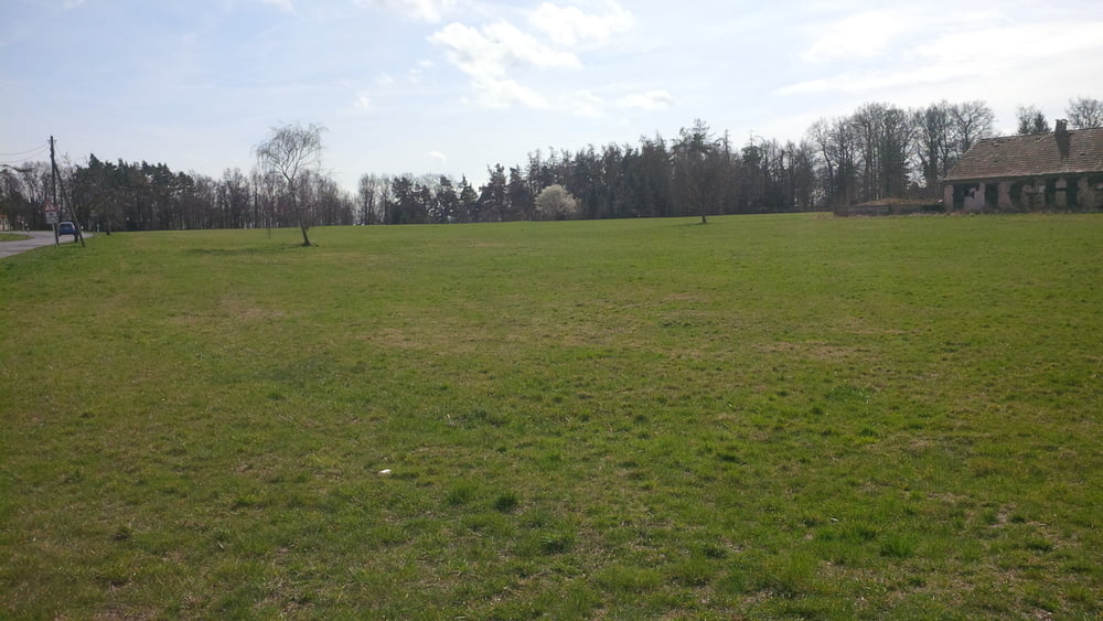
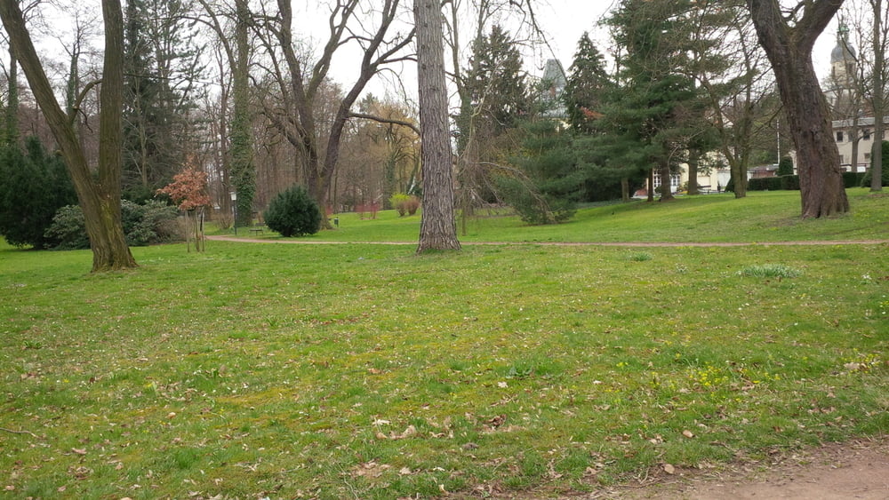
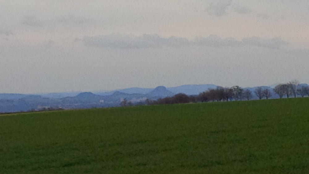


Galerie du tour

Carte du tour et altitude

  • Open Street Map
  • Google
Minimum height 97 m Maximum height 415 m Vue de détail

More about the tour author

chris_dd
Member since 2011

Send private message

Commentaires

Tracks GPS

Trackpoints
  • GPX / Garmin Map Source (gpx) download
  • TCX / Garmin Training Center® (tcx) download
  • CRS / Garmin Training Center® (crs) download
  • Google Earth (kml) download
  • G7ToWin (g7t) download
  • TTQV (trk) download
  • Overlay (ovl) download
  • Fugawi (txt) download
  • Kompass (DAV) Track (tk) download
  • Feuille de tours (pdf) download
  • Original file of the author (gpx) download

More about the tour author

chris_dd
Member since 2011

Send private message
Share track
Add to my favorites
Remove from my favorites
Edit tags
My score
Rate
Tour: Durch den Poisenwald nach Kreischa
Cat.: Mountainbike
Longueur: 38,8 km
Evaluated on:
Durée:
Day(s)
Hour(s)
Minute(s)
Evaluation: Paysage Aspect amusement Condition Technique